
Kullerstad 75:1, grave field in Östergötland, Sweden
Location: Norrköping Municipality
GPS coordinates: 58.58728,15.89610
Latest update: March 30, 2025 16:24
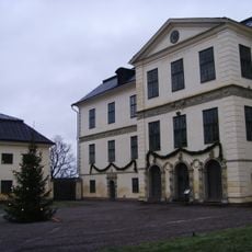
Löfstad Castle
9.3 km
Grensholm
8.2 km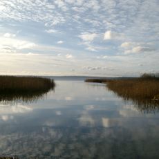
Glan
7 km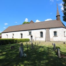
Risinge gamla kyrka
10.2 km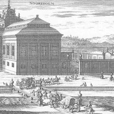
Norsholms herrgård
9.3 km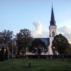
Vånga Church
5 km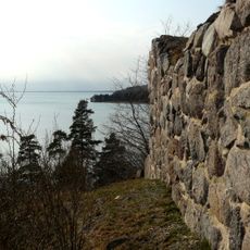
Åls stenhus
8.6 km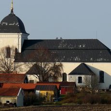
Kimstad Church
7 km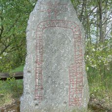
Gunnar's bridge runestones
2.9 km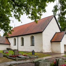
Skrukeby Church
10.7 km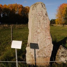
Östergötlands runinskrifter 219
10.1 km
Svärtinge Church
10.2 km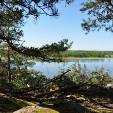
Norsholm
9.3 km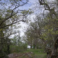
Ljusfors
1.3 km
Glans kalkbarrskogar
4.7 km
Ribbingsholm
833 m
Runstorp
8.2 km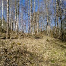
Ängenäs
9.1 km
Stjärntorp
7.1 km
Risinge hembygdsgård
10.3 km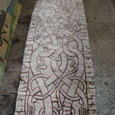
Östergötlands runinskrifter 220
10.7 km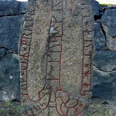
Östergötlands runinskrifter 161
7 km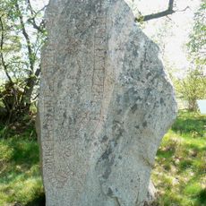
Östergötlands runinskrifter 163
6.4 km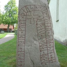
Östergötlands runinskrifter Fv1970;310
2.9 km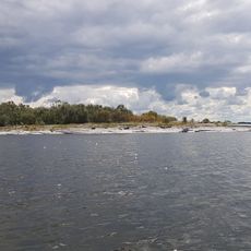
Grönholmarna
8.5 km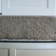
Östergötlands runinskrifter 160
7 km
Kilinge naturreservat
7.6 km
Vånga 6:1
9.4 kmReviews
Visited this place? Tap the stars to rate it and share your experience / photos with the community! Try now! You can cancel it anytime.
Discover hidden gems everywhere you go!
From secret cafés to breathtaking viewpoints, skip the crowded tourist spots and find places that match your style. Our app makes it easy with voice search, smart filtering, route optimization, and insider tips from travelers worldwide. Download now for the complete mobile experience.

A unique approach to discovering new places❞
— Le Figaro
All the places worth exploring❞
— France Info
A tailor-made excursion in just a few clicks❞
— 20 Minutes