
Dunderhakes grav, grav markerad av sten/block i Östergötland (Risinge 43:1)
Location: Finspång Municipality
GPS coordinates: 58.70183,15.84479
Latest update: March 30, 2025 18:03
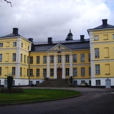
Finspång Castle
4.4 km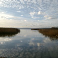
Glan
10 km
Ågelsjön
14.6 km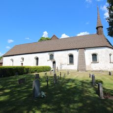
Risinge gamla kyrka
3 km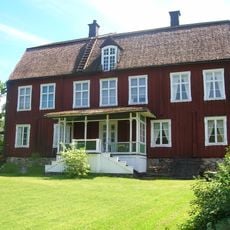
Rodga
14.8 km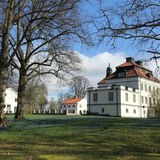
Stjärnvik
664 m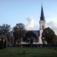
Vånga Church
13.8 km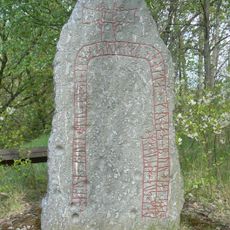
Gunnar's bridge runestones
14.3 km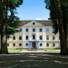
Sonstorps herrgård
13.4 km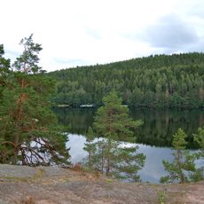
Ågelsjöns naturreservat
15 km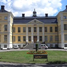
Finspångs slottskapell
4.4 km
Ysunda
3.7 km
Svärtinge Church
11.9 km
Arena Grosvad
2.7 km
Ljusfors
12.3 km
Glans kalkbarrskogar
9.2 km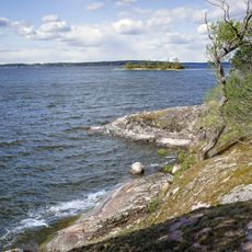
Ribbingsholm
12.4 km
Orrkojgölarnas domänreservat
11.2 km
Ängenäs
6 km
Stjärntorp
9.6 km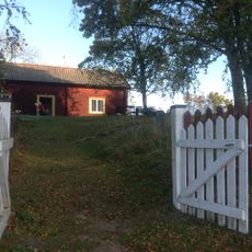
Risinge hembygdsgård
2.9 km
Ormlångenskogen
9 km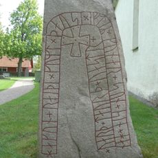
Östergötlands runinskrifter Fv1970;310
14.7 km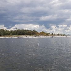
Grönholmarna
15.2 km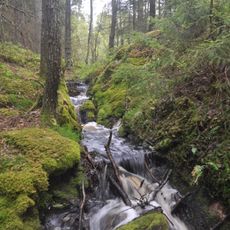
Sätramarken
13.9 km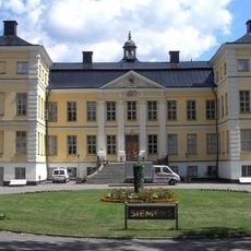
Finspångs slott
4.2 km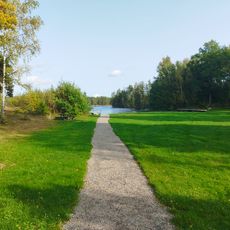
Bönergården, public beach
7.9 km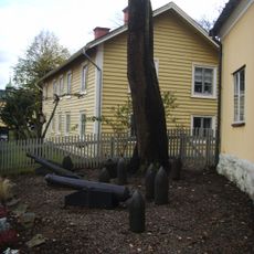
Finspångs bruksmuseum
4.4 kmReviews
Visited this place? Tap the stars to rate it and share your experience / photos with the community! Try now! You can cancel it anytime.
Discover hidden gems everywhere you go!
From secret cafés to breathtaking viewpoints, skip the crowded tourist spots and find places that match your style. Our app makes it easy with voice search, smart filtering, route optimization, and insider tips from travelers worldwide. Download now for the complete mobile experience.

A unique approach to discovering new places❞
— Le Figaro
All the places worth exploring❞
— France Info
A tailor-made excursion in just a few clicks❞
— 20 Minutes