
Klinta hällar, nature reserve in Östergötland, Sweden
Location: Norrköping Municipality
Inception: December 29, 2016
GPS coordinates: 58.84135,16.18910
Latest update: March 11, 2025 02:30
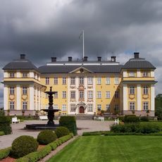
Ericsberg Castle
14.9 km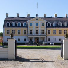
Claestorp Castle
14 km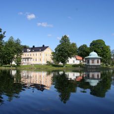
Beckershov
15 km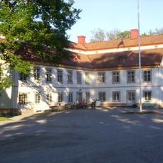
Stora Djulö
14.6 km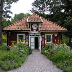
Dufweholms herrgård
14.4 km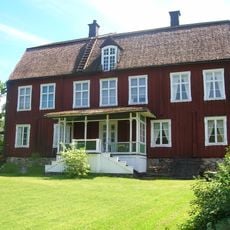
Rodga
13 km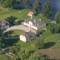
Tisenhult
15 km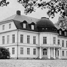
Broby
17.1 km
Katrineholmi linn
16.8 km
Kullbergska sjukhuset
16.9 km
Katrineholms stadshus
17 km
Glysas grav
15.1 km
Östra Vingåkers kyrka
14.8 km
Simonstorp Church
6.9 km
Katrineholm library
17 km
Glotternskogen
14.9 km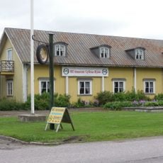
Gyllene Hjulet mc-museum
15 km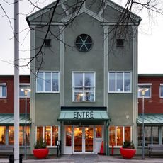
Kulturhuset Ängeln
17 km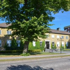
Oppunda tingslag
16.8 km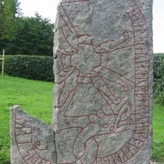
Sö 65
14.9 km
Sandbäckskyrkan
16.5 km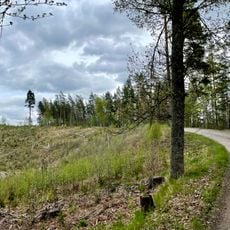
Tolmon
16.3 km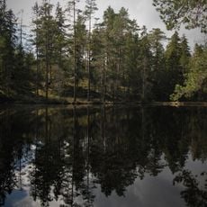
Rödgölen
17.2 km
Oppunda och Villåttinge domsagas tingslag
16.8 km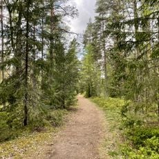
Skirtorpssjön
15.1 km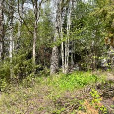
Naturminne på fastigheten Djupet 1, Katrineholms kommun
15.3 km
Sammanvuxna tallar Katrineholm
16.5 km
Thor's stones
17 kmReviews
Visited this place? Tap the stars to rate it and share your experience / photos with the community! Try now! You can cancel it anytime.
Discover hidden gems everywhere you go!
From secret cafés to breathtaking viewpoints, skip the crowded tourist spots and find places that match your style. Our app makes it easy with voice search, smart filtering, route optimization, and insider tips from travelers worldwide. Download now for the complete mobile experience.

A unique approach to discovering new places❞
— Le Figaro
All the places worth exploring❞
— France Info
A tailor-made excursion in just a few clicks❞
— 20 Minutes