
Ludenhatten, nature reserve in Norrbotten, Sweden
Location: Piteå Municipality
Inception: July 25, 2011
GPS coordinates: 65.48915,20.99239
Latest update: April 14, 2025 01:51
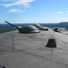
Boden Fortress
45.4 km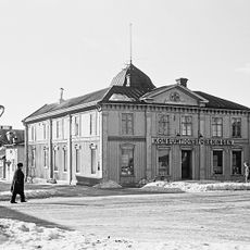
Piteå Municipality
29.2 km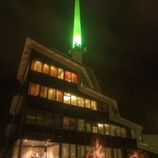
Acusticum
28.2 km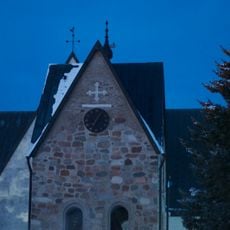
Öjeby Church
24.6 km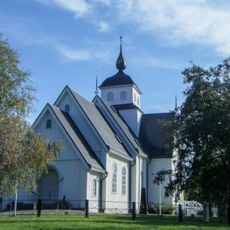
Piteå City Church
29.7 km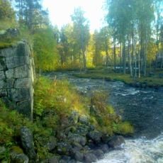
Alån
37.2 km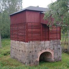
Rosfors bruk
24.6 km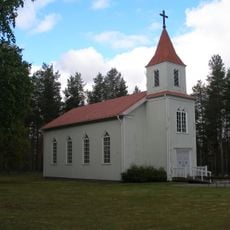
Finnträsk Church
43 km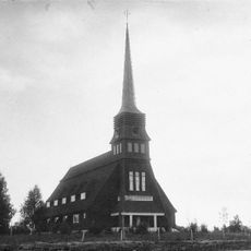
Norrfjärdens gamla kyrka
24.2 km
Arkeologstigen i Jävre
45 km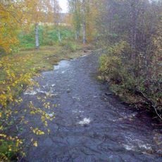
Rosån
32.3 km
Jävre turiststation
45.4 km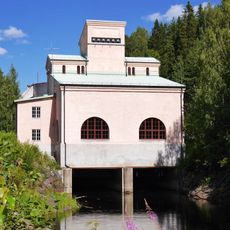
Sikfors gamla kraftstation
10.9 km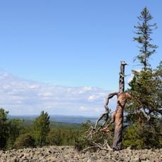
Bälingeberget
43.4 km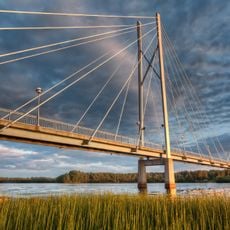
Öholmabron
27.8 km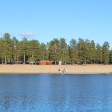
Aldersjön
44.3 km
Selets bruk
36.6 km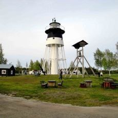
Jävre lighthouse
45.4 km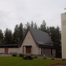
Church of Vidsel
44.1 km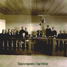
Piteå tingslag
24.9 km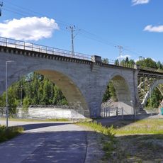
Järnvägsbron över Piteälven vid Sikfors
11.3 km
Piteå och Älvsby tingslag
24.9 km
Mikaelskyrkan, Boden
45.2 km
Fästningsguiden i Norr AB
45.4 km
Public beach Aldersjön
44.4 km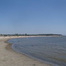
Pite havsbad
38.2 km
Älvsby petrolmuseum
21.3 km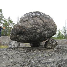
Hortlax 34:1
38.3 kmReviews
Visited this place? Tap the stars to rate it and share your experience / photos with the community! Try now! You can cancel it anytime.
Discover hidden gems everywhere you go!
From secret cafés to breathtaking viewpoints, skip the crowded tourist spots and find places that match your style. Our app makes it easy with voice search, smart filtering, route optimization, and insider tips from travelers worldwide. Download now for the complete mobile experience.

A unique approach to discovering new places❞
— Le Figaro
All the places worth exploring❞
— France Info
A tailor-made excursion in just a few clicks❞
— 20 Minutes