
Malungsberget, nature reserve in Norrbotten, Sweden
Location: Kalix Municipality
Location: Överkalix Municipality
Inception: July 26, 2010
GPS coordinates: 66.18085,22.77218
Latest update: April 22, 2025 03:07
Överkalix Municipality
28.9 km
Kalixlinjen
25.4 km
Mail buoy in Törehamn
31.6 km
Övertorneå Church
46 km
Aavasaksa Bridge
46.5 km
Hietaniemi Church
42.3 km
Armasjärvi
37.3 km
Råneå Church
42.3 km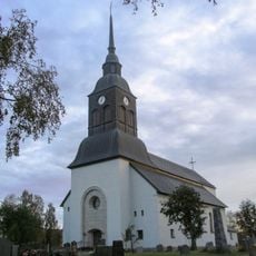
Överkalix Church
16.6 km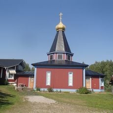
Преображенская церковь
18.4 km
Ryssgraven, Kalix
39.9 km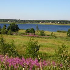
Konsthall Tornedalen
45.2 km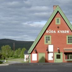
Röda Kvarn
45.9 km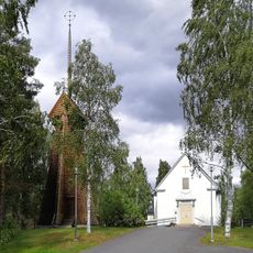
Gunnarsbyns kyrka
44.7 km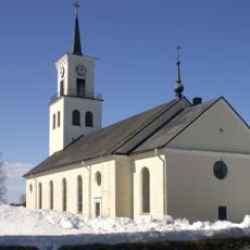
Töre Church
30.1 km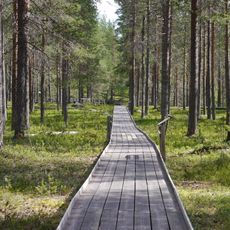
Fattenborg
19.1 km
Björkfors kyrka
42.2 km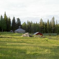
Hanhivittikko fäbod
43.7 km
Nederkalix tingslag
41.2 km
Nordkalottens kultur- och forskningscentrum
46.1 km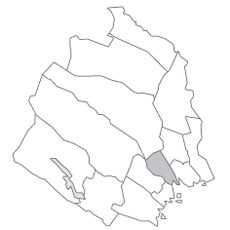
Råneå tingslag
42 km
Kalix domsagas tingslag
41.2 km
Isovaara
44.1 km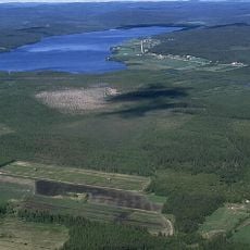
Armasjärvimyren
37.5 km
Rånepoolen
42.6 km
Näsby church
41.5 km
Nederkalix 19:1
39.9 km
Vitåfors maskinmuseum
30.9 kmReviews
Visited this place? Tap the stars to rate it and share your experience / photos with the community! Try now! You can cancel it anytime.
Discover hidden gems everywhere you go!
From secret cafés to breathtaking viewpoints, skip the crowded tourist spots and find places that match your style. Our app makes it easy with voice search, smart filtering, route optimization, and insider tips from travelers worldwide. Download now for the complete mobile experience.

A unique approach to discovering new places❞
— Le Figaro
All the places worth exploring❞
— France Info
A tailor-made excursion in just a few clicks❞
— 20 Minutes