Lungälvens ravinsystem, nature reserve in Värmland, Sweden
Location: Filipstad Municipality
Inception: July 20, 1984
Part of: Brattforsheden
GPS coordinates: 59.64949,14.01324
Latest update: November 16, 2025 07:14
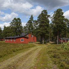
Brattforshedens krigsflygfält
7.3 km
Brattforsheden
8.4 km
Klockarhöjdenmasten
7.2 km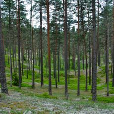
Kittelfältet
3.9 km
Brattfors brandfält
1.7 km
Geijersdalsmossen
3.5 km
Brattfors 36:1
6.3 km
Brattfors 60:1
7.3 km
Brattfors 40:2
6 km
Nyed 38:2
7.2 km
2003862 Tall
10.8 km
Brödmuseum
10.4 km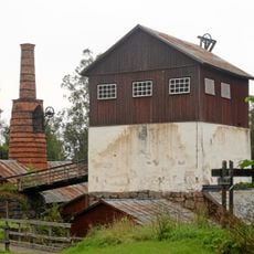
Brattforshyttan
2 km
Brattfors 40:1
6 km
Brattfors 10:1
8.4 km
Brattfors 9:1
6 km
Nyed 38:1
7.2 km
Filipstads kvarn
10.8 km
Brattfors 9:2
6 km
Nyed 38:3
7.2 km
Museet Kvarnen/Ferlinmuseet
10.8 km
Brattfors 9:3
6 km
Brattfors 15:1
7.3 km
Brattfors 13:1
7.3 km
Scenic viewpoint
4.4 km
Scenic viewpoint
4.3 km
Scenic viewpoint
3.2 km
Scenic viewpoint
4.4 kmReviews
Visited this place? Tap the stars to rate it and share your experience / photos with the community! Try now! You can cancel it anytime.
Discover hidden gems everywhere you go!
From secret cafés to breathtaking viewpoints, skip the crowded tourist spots and find places that match your style. Our app makes it easy with voice search, smart filtering, route optimization, and insider tips from travelers worldwide. Download now for the complete mobile experience.

A unique approach to discovering new places❞
— Le Figaro
All the places worth exploring❞
— France Info
A tailor-made excursion in just a few clicks❞
— 20 Minutes