Tjeliken, Berggipfel in Schweden
Location: Jämtland County
Elevation above the sea: 697 m
GPS coordinates: 64.55500,14.72080
Latest update: October 28, 2025 09:21
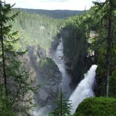
Hällingsåfallet
27.7 km
Hotell Borgafjäll
36 km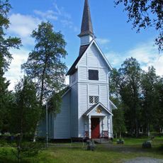
Ankarede kapell
37.2 km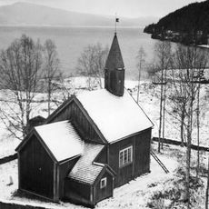
Vikens kapell
42.9 km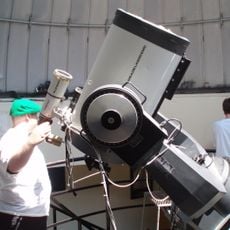
Frostvikens observatorium
27.9 km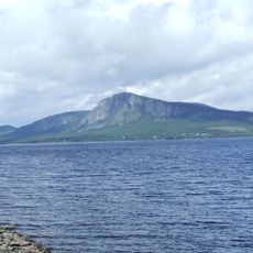
Kalberget (bukid)
21.6 km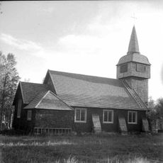
Sjoutnäsets kapell
10.6 km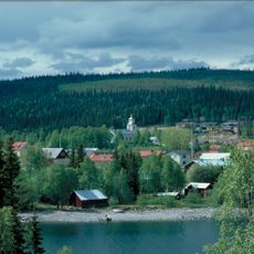
Frostviken Church
28.2 km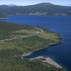
Blåsjön
33.8 km
Raukasjön
41.2 km
Kalvtjärnarna
34 km
Noerhte Snjaptja
25.5 km
Vildmarksvägen
34.3 km
Borgahällen
29.4 km
Frostviken 111:1
29.8 km
Frostviken 111:3
29.8 km
Frostviken 111:2
29.8 km
Frostviken 111:4
29.8 km
Hällingsåfallet
28.1 km
Ateljé FjällDesign
28.1 km
Risbäcks Hembygdsområde
42.3 km
Brakkåfallet
41.8 km
Övre Brakkåfallet
42 km
Hällingsåfallet
28.1 km
Scenic viewpoint
27.9 km
Scenic viewpoint
21.7 km
Scenic viewpoint
22.6 km
Scenic viewpoint
27.5 kmReviews
Visited this place? Tap the stars to rate it and share your experience / photos with the community! Try now! You can cancel it anytime.
Discover hidden gems everywhere you go!
From secret cafés to breathtaking viewpoints, skip the crowded tourist spots and find places that match your style. Our app makes it easy with voice search, smart filtering, route optimization, and insider tips from travelers worldwide. Download now for the complete mobile experience.

A unique approach to discovering new places❞
— Le Figaro
All the places worth exploring❞
— France Info
A tailor-made excursion in just a few clicks❞
— 20 Minutes