
Jonasesmyran, محمية طبيعية في السويد
Location: Ljusdal Municipality
Inception: June 16, 2018
GPS coordinates: 61.94846,15.32945
Latest update: May 23, 2025 22:07

Ljusdal Municipality
21.5 km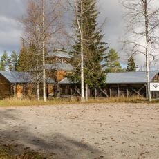
Los koboltgruva
24.7 km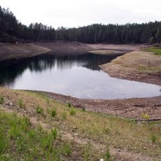
Gröntjärn
46.2 km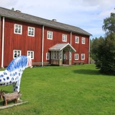
Fågelsjö Gammelgård
40.3 km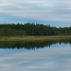
Hamra National Park
34.7 km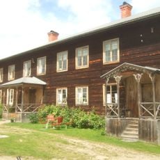
Bommars
28.8 km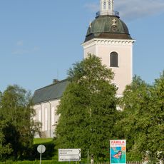
Färila Church
31.8 km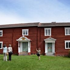
Voxnadalen
47.7 km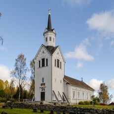
Los kyrka
26 km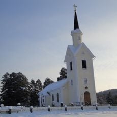
Kårböle Church
3.9 km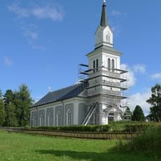
Hamra Church
37 km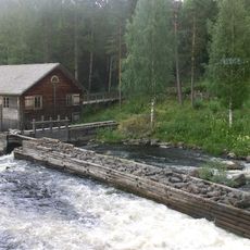
Haverö strömmar
49.7 km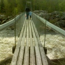
Voxnan och Hylströmmen
30.2 km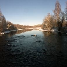
Sillerboån
35.7 km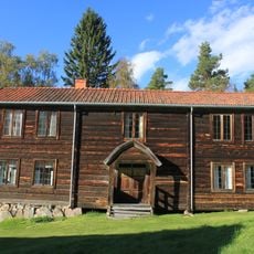
Östigården i Ytteryg
37.4 km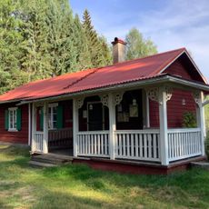
Vikstenstorpet
4.7 km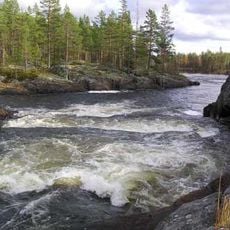
Högforsen
31.2 km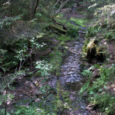
Gladbäcken
49.1 km
Ramsjö Church
31.3 km
Ängersjö Church
24.7 km
Öjungs kapell
41.7 km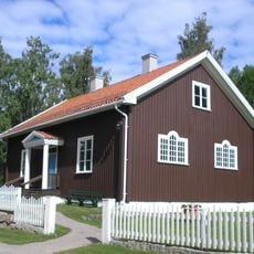
Fågelsjö kapell
39.7 km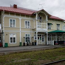
Järnvägshotellet i Ljusdal
42.4 km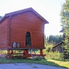
Härbret i Yg
34.7 km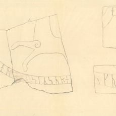
Hälsinglands runinskrifter 20
41.2 km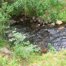
Maljan
46.3 km
Kolsvedjastugan
40.6 km
Börningsberget
44.1 kmReviews
Visited this place? Tap the stars to rate it and share your experience / photos with the community! Try now! You can cancel it anytime.
Discover hidden gems everywhere you go!
From secret cafés to breathtaking viewpoints, skip the crowded tourist spots and find places that match your style. Our app makes it easy with voice search, smart filtering, route optimization, and insider tips from travelers worldwide. Download now for the complete mobile experience.

A unique approach to discovering new places❞
— Le Figaro
All the places worth exploring❞
— France Info
A tailor-made excursion in just a few clicks❞
— 20 Minutes