
Helvetesmyrkälen, محمية طبيعية في بلدية أوسترسوند، السويد
Location: Östersund Municipality
Inception: June 16, 2017
Operator: Länsstyrelsen i Jämtlands län
GPS coordinates: 63.44656,15.21546
Latest update: June 11, 2025 01:02
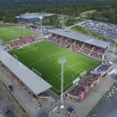
Jämtkraft Arena
39.6 km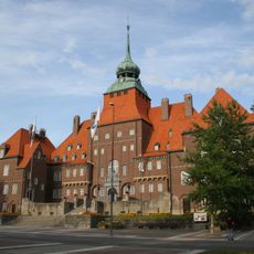
Östersund Municipality
26.5 km
Högfors slott
18.1 km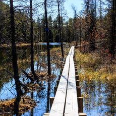
Tysjöarna Nature Reserve
37.3 km
Jämtlands flyg- och lottamuseum
40.5 km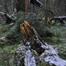
Torvalla Virgin Forest Nature Reserve
40 km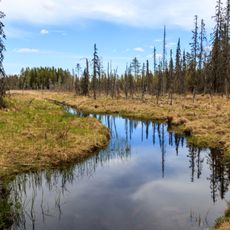
Öjsjömyrarna Nature Reserve
6 km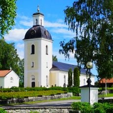
Lits church
24.6 km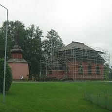
Stuguns gamla kyrka
36.1 km
Hammerdals kommun
16.2 km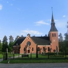
Stuguns nya kyrka
37.1 km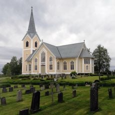
Gåxsjö Church
26.1 km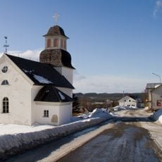
Borgvattnets kyrka
30.5 km
Kyrkås nya kyrka
30.3 km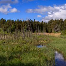
Rannåsen
38.3 km
Klöstafallet
29.1 km
Aspås Church
37.4 km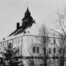
Lits och Rödöns tingslag
37.4 km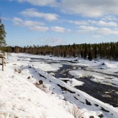
Ammerån
28.8 km
Spåmansloken
22.3 km
Aspås 1:1
37.4 km
Aspås 1:2
37.4 km
Hissmofors folkets hus
39.1 km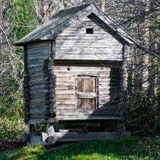
Härbre i Föllinge
39.2 km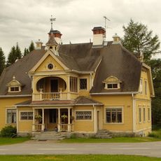
Markusgården
19.8 km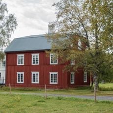
Lungre boningshus och ryttarhärbre
30.4 km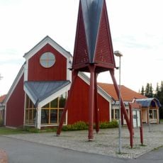
Ängsmokyrkan
40.7 km
Hissmofors folkets hus
39.1 kmReviews
Visited this place? Tap the stars to rate it and share your experience / photos with the community! Try now! You can cancel it anytime.
Discover hidden gems everywhere you go!
From secret cafés to breathtaking viewpoints, skip the crowded tourist spots and find places that match your style. Our app makes it easy with voice search, smart filtering, route optimization, and insider tips from travelers worldwide. Download now for the complete mobile experience.

A unique approach to discovering new places❞
— Le Figaro
All the places worth exploring❞
— France Info
A tailor-made excursion in just a few clicks❞
— 20 Minutes