
Åsens utmark, محمية طبيعية في السويد
Location: Aneby Municipality
Inception: April 21, 2017
GPS coordinates: 57.90886,14.52278
Latest update: March 3, 2025 02:48

Lyckås
10.8 km
Grenna Museum
13 km
Östanå herrgård
6.1 km
Svarttorp
11.5 km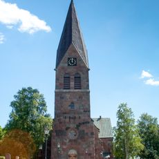
Lommaryd Church
13.8 km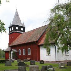
Haurida Church
2.1 km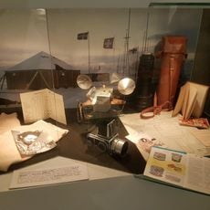
Grenna Museum
13 km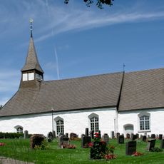
Ölmstad Church
9 km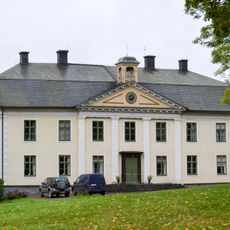
Degla manor
13.6 km
Västanå
10.9 km
Uvabergets naturskog och Ramlaklint
9 km
Råbyskogen
8.3 km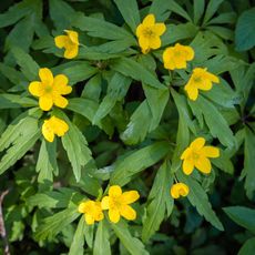
Slottsberget
10.5 km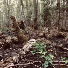
Strömsholmsskogen
7.6 km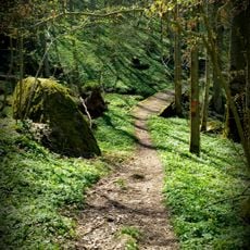
Målabråten
12.8 km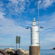
Gränna lighthouse
14.1 km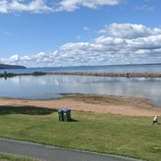
Gränna badlagun
13.8 km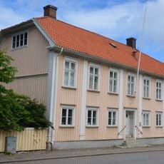
Gränna prästgård
13 km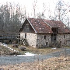
Rasmus kvarn
11 km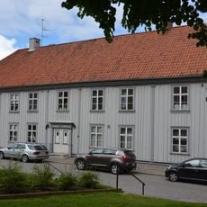
Hotell Brahe
13 km
Hallska gården
13 km
Franckska gården
13 km
Von Otterska villan
12.8 km
Brunns kapell
3.5 km
Brahe 10
12.9 km
Skärstads hembygdsmuseum
14 km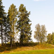
Lommaryd 30:1
11.9 km
Skolbiblioteket på Ribbaskolan
13.2 kmReviews
Visited this place? Tap the stars to rate it and share your experience / photos with the community! Try now! You can cancel it anytime.
Discover hidden gems everywhere you go!
From secret cafés to breathtaking viewpoints, skip the crowded tourist spots and find places that match your style. Our app makes it easy with voice search, smart filtering, route optimization, and insider tips from travelers worldwide. Download now for the complete mobile experience.

A unique approach to discovering new places❞
— Le Figaro
All the places worth exploring❞
— France Info
A tailor-made excursion in just a few clicks❞
— 20 Minutes