
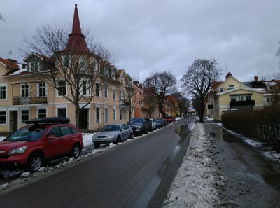
Aguéligatan, Straße in Schweden
Location: Sala Municipality
GPS coordinates: 59.92203,16.60464
Latest update: October 25, 2025 20:09
Sala Silver Mine
2.3 km
Östanbäck Monastery
7.7 km
Aguéli museum
324 m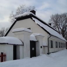
Väsby kungsgård
693 m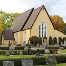
Sala sockenkyrka
1.3 km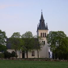
Norrby Church
1.5 km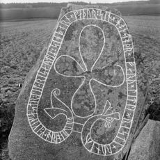
Grällsta Runestone
8.7 km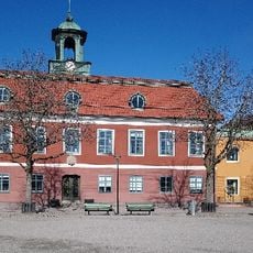
Mairie de Sala
224 m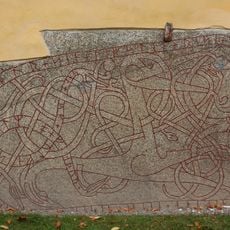
Västmanlands runinskrifter 29
1.3 km
Katrinelund
3 km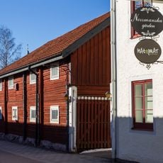
Norrmanska gården
384 m
Norrby 47:1
7.6 km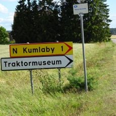
Traktormuseum
4 km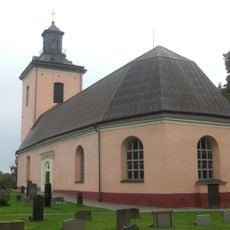
Kila kyrka
6.7 km
Sala socken 83:3
2.5 km
Sala socken 83:5
2.4 km
Sala socken 83:4
2.5 km
Sala socken 83:1
2.5 km
Sala socken 83:2
2.5 km
Kila 172:1
9.4 km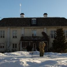
Videbo f.d. prästboställe
2.5 km
F.d. badhuset i Sala, Varmbadhuset
301 m
Sala socken 130:1
2.3 km
A piece of art
430 m
A piece of art
403 m
Work of art, sculpture
250 m
Sculpture, Work of art
223 m
Work of art, installation artwork
285 mReviews
Visited this place? Tap the stars to rate it and share your experience / photos with the community! Try now! You can cancel it anytime.
Discover hidden gems everywhere you go!
From secret cafés to breathtaking viewpoints, skip the crowded tourist spots and find places that match your style. Our app makes it easy with voice search, smart filtering, route optimization, and insider tips from travelers worldwide. Download now for the complete mobile experience.

A unique approach to discovering new places❞
— Le Figaro
All the places worth exploring❞
— France Info
A tailor-made excursion in just a few clicks❞
— 20 Minutes