
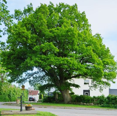
Slutarp Ledsgården, naturminne i Falköpings kommun
Location: Falköping Municipality
Inception: January 27, 1954
GPS coordinates: 58.08795,13.52074
Latest update: April 25, 2025 15:38
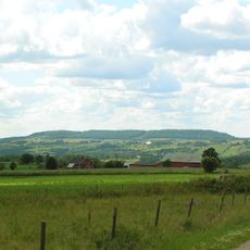
Ålleberg
6.9 km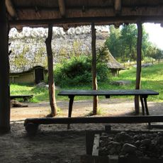
Ekehagens forntidsby
6.6 km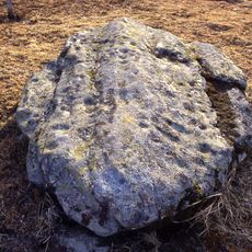
Slutarpsdösen
549 m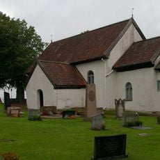
Göteve Church
7.5 km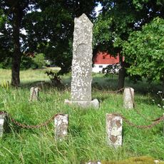
Elins sogn
5.4 km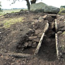
Firse Sten
7.8 km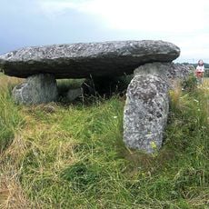
Hallabacken in Vårkumla
4 km
Smula ås
6.2 km
Västergötlands runinskrifter 182
5.3 km
Sjöängen, Slöta
7.7 km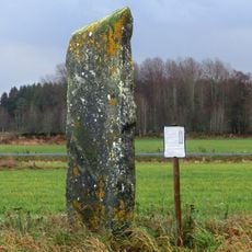
Runic inscription Vg 130
5.8 km
Smula gamle Kirke
5.6 km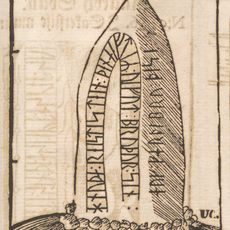
Västergötlands runinskrifter 183
5.2 km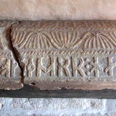
Västergötlands runinskrifter 138
2.8 km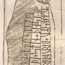
Västergötlands runinskrifter 135
1.9 km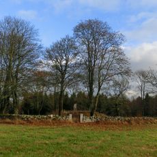
Grolanda 25:1
7.8 km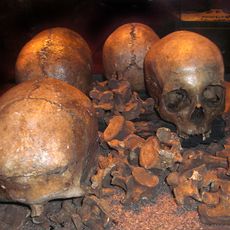
Slutarpsdösen
550 m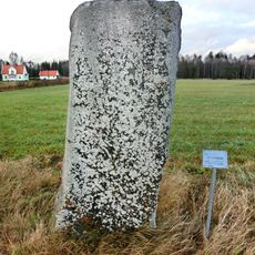
Kinneved 39:1
3.1 km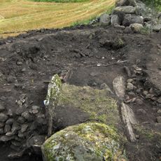
Falköping 7:1
7.8 km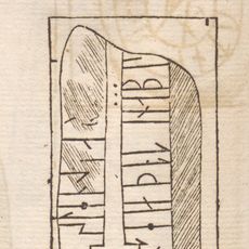
Västergötlands runinskrifter 148
6.8 km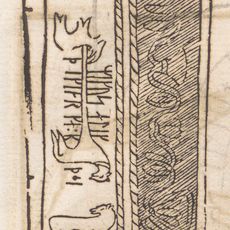
Västergötlands runinskrifter 185
5.6 km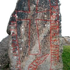
Vårkumla runestone
2.8 km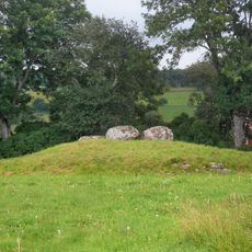
Knaggårdens gånggrift
5.6 km
Vårkumla 14:2
4 km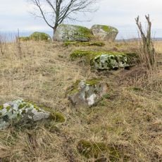
Lockgårdens gånggrift
5.5 km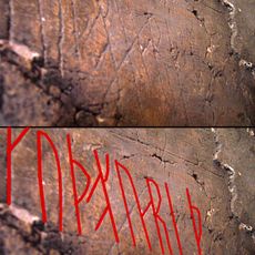
Västergötlands runinskrifter Fv2007;37
2.2 km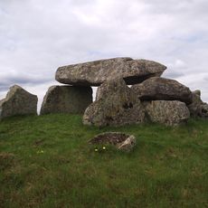
Luttra gånggrift
5.6 km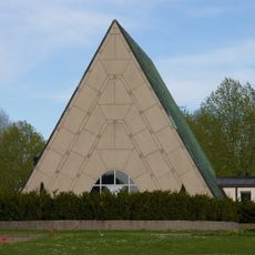
Uppståndelsens kapell
7.9 kmReviews
Visited this place? Tap the stars to rate it and share your experience / photos with the community! Try now! You can cancel it anytime.
Discover hidden gems everywhere you go!
From secret cafés to breathtaking viewpoints, skip the crowded tourist spots and find places that match your style. Our app makes it easy with voice search, smart filtering, route optimization, and insider tips from travelers worldwide. Download now for the complete mobile experience.

A unique approach to discovering new places❞
— Le Figaro
All the places worth exploring❞
— France Info
A tailor-made excursion in just a few clicks❞
— 20 Minutes