
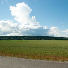
Västbjörke Nilsgården, naturminne i Trollhättans kommun
Location: Trollhättan Municipality
Inception: April 16, 1928
GPS coordinates: 58.26979,12.51184
Latest update: April 3, 2025 23:06
Hunneberg
7.9 km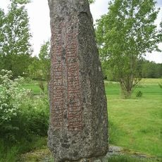
Velanda Runestone
7.8 km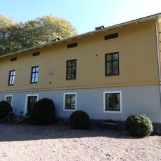
Forstena
9.9 km
Thamstorp
8.4 km
Hullsjön
7.8 km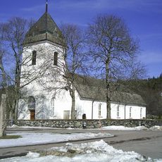
Västra Tunhems kyrka
7.9 km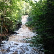
Halle-Hunnebergs rasbranter
6.5 km
Hästevads stenar
10.7 km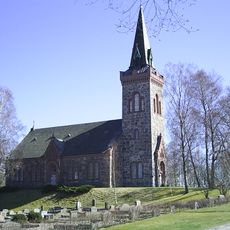
Gärdhems kyrka
10.8 km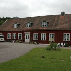
Västra Tunhems prästgård
7.3 km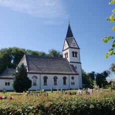
Flo Church
8 km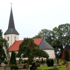
Tengene Church
10 km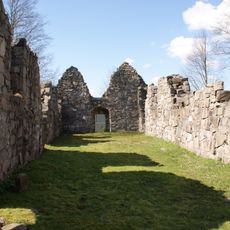
Gärdhems kyrkoruin
10.4 km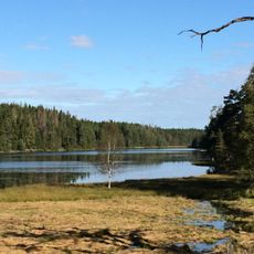
Bergsjön, Västra Tunhems socken, Västergötland
6.5 km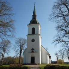
Främmestad church
10.3 km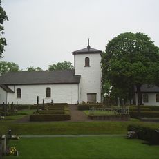
Väne-Åsaka Church
6.1 km
Tunhems ekhagar
7.5 km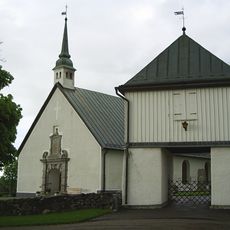
Norra Björke Church
1.8 km
Halle- Hunnebergs platåer
8.8 km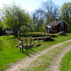
Grinnsjö domänreservat
5.7 km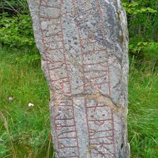
Västergötlands runinskrifter 101
6.1 km
Halvorskyrkan
10.2 km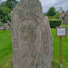
Västergötlands runinskrifter 100
8 km
Slättbergens naturvårdsområde
9.9 km
Hullsjön
7.9 km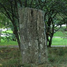
Trollhättan 72:1
11.9 km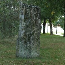
Trollhättan 72:2
11.8 km
Gärdhem 30:1
10.4 kmReviews
Visited this place? Tap the stars to rate it and share your experience / photos with the community! Try now! You can cancel it anytime.
Discover hidden gems everywhere you go!
From secret cafés to breathtaking viewpoints, skip the crowded tourist spots and find places that match your style. Our app makes it easy with voice search, smart filtering, route optimization, and insider tips from travelers worldwide. Download now for the complete mobile experience.

A unique approach to discovering new places❞
— Le Figaro
All the places worth exploring❞
— France Info
A tailor-made excursion in just a few clicks❞
— 20 Minutes