
Ett flyttblock, Rönnehall, naturminne i Halmstads kommun
Location: Halmstad Municipality
Inception: October 30, 1934
GPS coordinates: 56.83682,13.12676
Latest update: April 21, 2025 21:00

Hylte Municipality
14.7 km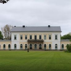
Sperlingsholm
20.2 km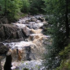
Danska fall
14.2 km
Fröllinge
20.6 km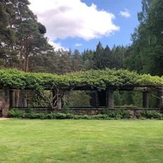
Vargaslätten
13.4 km
Arlösa Mansion
17.2 km
Breared Church
12.5 km
Kvibille Church
18.8 km
Lidhult Church
19.7 km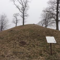
Ivars kulle
19.9 km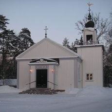
Skavböke kapell
3.2 km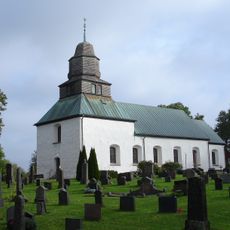
Slättåkra Church
14.8 km
Virsehatt
7.9 km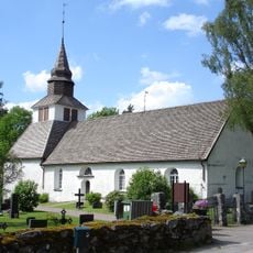
Femsjö Church
13.6 km
Skedala säteri
18.5 km
Mariakyrkan, Oskarström
10.6 km
Hyltebruk Church
19.3 km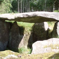
Tolarp passage grave
18.1 km
Esmareds kapell
15.4 km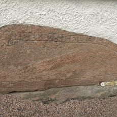
Runenstein von Kvibille
18.8 km
Lintalund
15.7 km
Sundsholm
10.5 km
Bröda
12.8 km
Vapnömosse
14.5 km
Skubbhult
16.6 km
Halmstads tingslag
18.9 km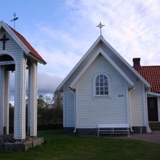
Esmareds kapell
15.4 km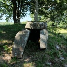
Holm 32:1
19.7 kmReviews
Visited this place? Tap the stars to rate it and share your experience / photos with the community! Try now! You can cancel it anytime.
Discover hidden gems everywhere you go!
From secret cafés to breathtaking viewpoints, skip the crowded tourist spots and find places that match your style. Our app makes it easy with voice search, smart filtering, route optimization, and insider tips from travelers worldwide. Download now for the complete mobile experience.

A unique approach to discovering new places❞
— Le Figaro
All the places worth exploring❞
— France Info
A tailor-made excursion in just a few clicks❞
— 20 Minutes