
Sunnerskog 4:1, naturminne i Vetlanda kommun
Location: Vetlanda Municipality
Inception: May 31, 1962
GPS coordinates: 57.40426,15.22331
Latest update: July 27, 2025 00:49

Johannamuseet
7.6 km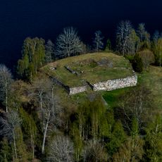
Hultaby slott
11.4 km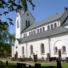
Vetlanda Church
9.4 km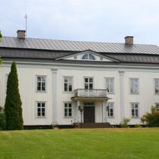
Wallby
10.3 km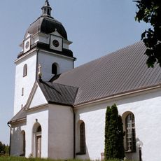
Alseda Church
2.4 km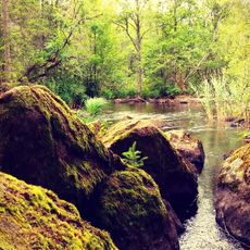
Illharjen
7.7 km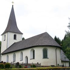
Nye Church
7.4 km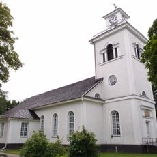
Skirö Church
9.6 km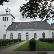
Skede Church
8.1 km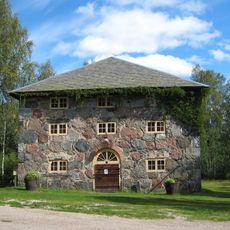
Stenmagasinet i Ädelfors
5.9 km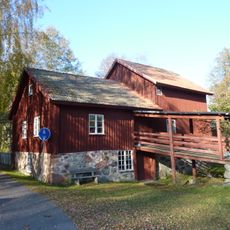
Mela Kvarn
8.2 km
Vetlanda museum
8.8 km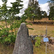
Smålands runinskrifter 89
5.5 km
Ädelfors mineral- och gruvmuseum
5.9 km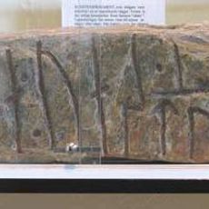
Sm 104
9.4 km
Östra Njudungs tingslag
8.9 km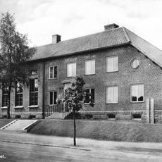
Östra härads domsaga
8.9 km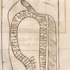
Smålands runinskrifter 110
8.8 km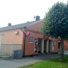
Saga
8.7 km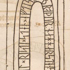
Sm 109, Vetlanda "klockarestuga"
9.4 km
Sm 107, Vetlanda kyrkogård
9.4 km
Sm 103, Rösa
4.9 km
Sm 85, Alseda kyrkogård
2.4 km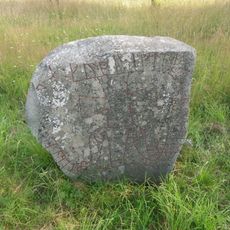
Sm 113, Tångerda
11.4 km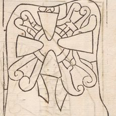
Sm 108, Vetlanda kyrkogård
9.4 km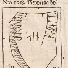
Sm 87, Repperda
5.7 km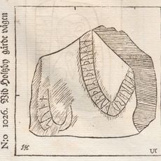
Sm 86, Holsby
4.9 km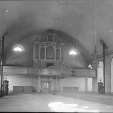
Skirö kyrkas orgel by Johannes Magnusson
9.6 kmReviews
Visited this place? Tap the stars to rate it and share your experience / photos with the community! Try now! You can cancel it anytime.
Discover hidden gems everywhere you go!
From secret cafés to breathtaking viewpoints, skip the crowded tourist spots and find places that match your style. Our app makes it easy with voice search, smart filtering, route optimization, and insider tips from travelers worldwide. Download now for the complete mobile experience.

A unique approach to discovering new places❞
— Le Figaro
All the places worth exploring❞
— France Info
A tailor-made excursion in just a few clicks❞
— 20 Minutes