
Söråker lower light, منارة في السويد
Location: Timrå Municipality
Inception: 1937
GPS coordinates: 62.50662,17.49195
Latest update: July 31, 2025 16:31
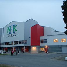
SCA Arena
7.3 km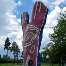
Y:et
3.3 km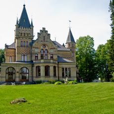
Merlo Castle
10.6 km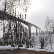
Alnö bridge
9.5 km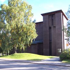
Skön
11.8 km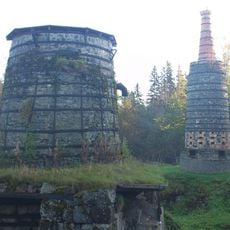
The iron factory Lögdö bruk
7.9 km
Indalsälvens delta
1.5 km
Stornäset
5.8 km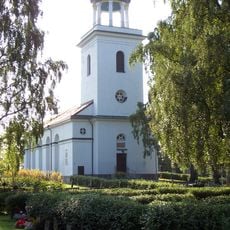
Timrå församling
8.1 km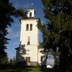
Hässjö church
5.3 km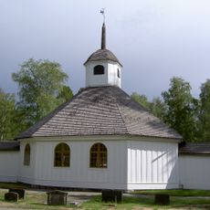
Lögdö Church
8 km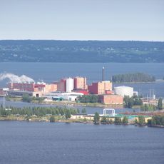
Klingerfjärden
2.8 km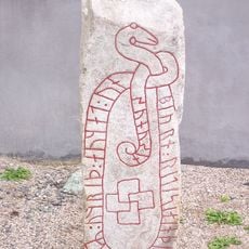
Medelpads runinskrifter 15
9.7 km
Vivstavarvs kapell
7.2 km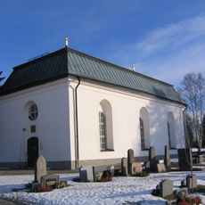
Tynderö Church
9 km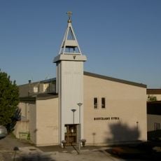
Bosvedjans kyrka
12.6 km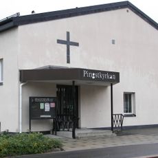
Pingstkyrkan, Timrå
871 m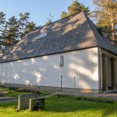
Sörberge gravkapell
6.2 km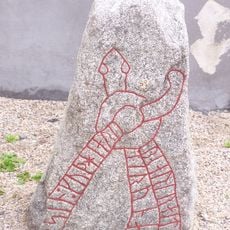
Medelpads runinskrifter 16
9.7 km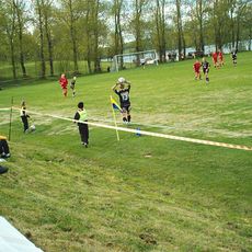
Malands IP
8.7 km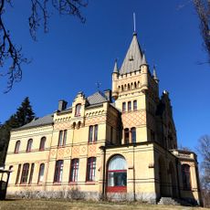
Merlo Slott
10.6 km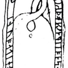
Medelpads runinskrifter 18
9.7 km
Wifstavarfs bruksmiljö och museum
7.3 km
Skön 94:1
8.7 km
Skön 57:1
12.4 km
Skön 61:1
12.2 km
Föreningslokalen Thor
5.1 km
Alnö hembygdsgård
7.9 kmReviews
Visited this place? Tap the stars to rate it and share your experience / photos with the community! Try now! You can cancel it anytime.
Discover hidden gems everywhere you go!
From secret cafés to breathtaking viewpoints, skip the crowded tourist spots and find places that match your style. Our app makes it easy with voice search, smart filtering, route optimization, and insider tips from travelers worldwide. Download now for the complete mobile experience.

A unique approach to discovering new places❞
— Le Figaro
All the places worth exploring❞
— France Info
A tailor-made excursion in just a few clicks❞
— 20 Minutes