
Območje rimske ceste, archaeological site in Municipality of Lendava, Slovenia
Location: Municipality of Lendava
GPS coordinates: 46.55448,16.39793
Latest update: March 11, 2025 20:28
Municipality of Lendava
4.4 km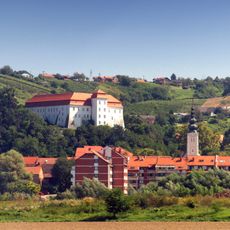
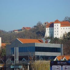
Lendava Castle
4.4 km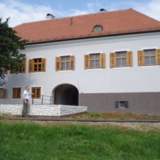
Banfi Manor
10.2 km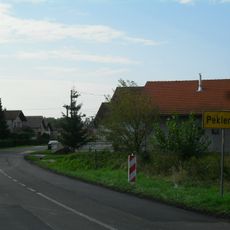
Peklenica
8.9 km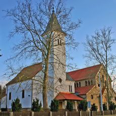
Assumption of Mary church, Turnišče
9.2 km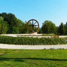
Žabnik, Sveti Martin na Muri
3.5 km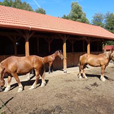
Ergela međimurskog konja, Žabnik
3.6 km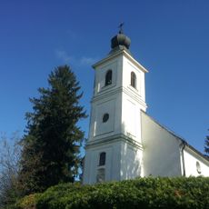
Holy Trinity Church
4.9 km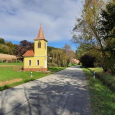
Jalšovec
7.9 km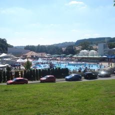
Toplice Sveti Martin
7.9 km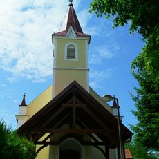
Štrukovec
9.3 km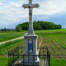
Hlapičina
3.7 km
Vrhovljan
3.5 km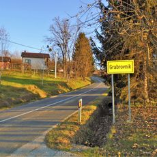
Grabrovnik
9.1 km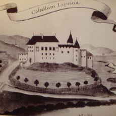
Lapšina
6.5 km
Holy Cross Parish Church
8 km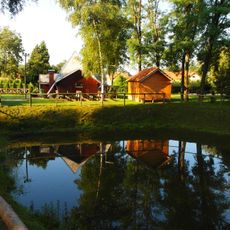
Marof
3.2 km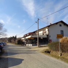
Jurovčak
7.7 km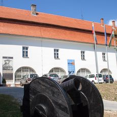
Gallery-Museum Lendava
4.4 km
Kapelščak
6.3 km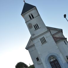
Sacred Heart of Jesus Parish Church
4.6 km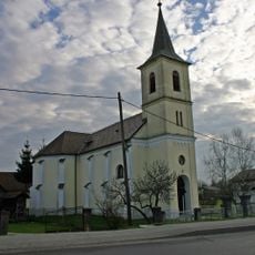
Saints Peter and Paul Parish Church
3 km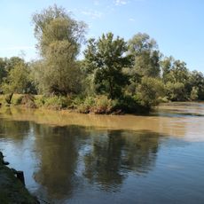
Mura
2.8 km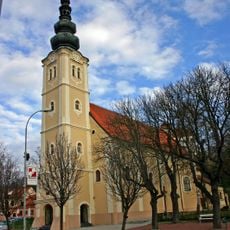
St. Catherine of Alexandria Church
4.3 km
Kapela Marije Pomočnice, Srednja Bistrica
9.2 km
Kapela sv. Florjana, Žižki
7.3 km
St. Mary Parish Church
9.2 km
Znamenje sv. Janeza Nepomuka, Turnišče
9.4 kmReviews
Visited this place? Tap the stars to rate it and share your experience / photos with the community! Try now! You can cancel it anytime.
Discover hidden gems everywhere you go!
From secret cafés to breathtaking viewpoints, skip the crowded tourist spots and find places that match your style. Our app makes it easy with voice search, smart filtering, route optimization, and insider tips from travelers worldwide. Download now for the complete mobile experience.

A unique approach to discovering new places❞
— Le Figaro
All the places worth exploring❞
— France Info
A tailor-made excursion in just a few clicks❞
— 20 Minutes