Mueang Sukhothai, district in Sukhothai province, Thailand
The community of curious travelers
AroundUs brings together thousands of curated places, local tips, and hidden gems, enriched daily by 60,000 contributors worldwide.

Sukhothai Historical Park
12.8 km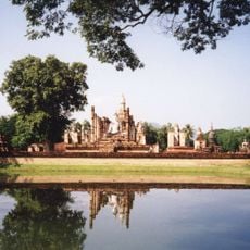
Historic Town of Sukhothai and Associated Historic Towns
12.8 km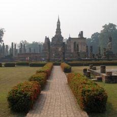
Wat Mahathat
12.8 km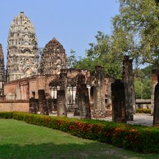
Wat Sri Sawai
12.9 km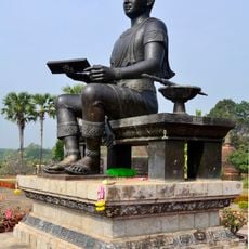
King Ram Khamhaeng Monument
12.7 km
Wat Chang Lom
11.1 km
Wat Traphang Thong
12.2 km
Wat Sa Si
13 km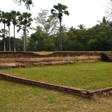
Noen Prasat
12.6 km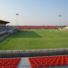
Thung Thalay Luang Stadium
6.7 km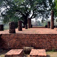
Wat Traphang Ngoen
13.2 km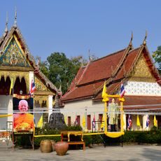
Wat Thai Chumphon
858 m
Wat Ratchathani
554 m
Wat Tra Kuan
12.8 km
Wat Chedi Si Hong
12.3 km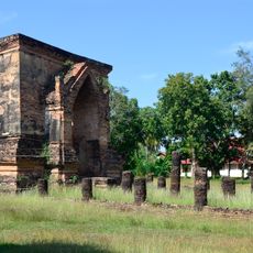
Wat Thraphang Thong Lang
11.2 km
Wat Sorasak
12.7 km
Wat Chana Songkhram
12.8 km
Wat Chetuphon
12.5 km
Wat Chedi Sung
9.9 km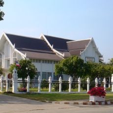
Ramkhamhaeng National Museum
12.3 km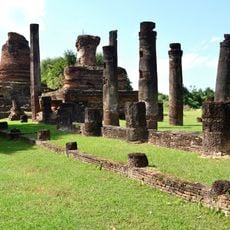
Wat Ton Chan
12.1 km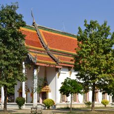
Wat Kamphaeng Ngam
4.4 km
Wat Si Phichit Kirati Kanlayaram
11.8 km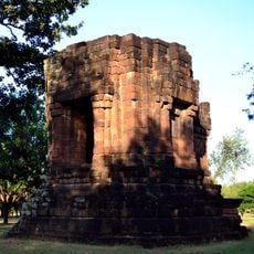
San Ta Pha Daeng
12.9 km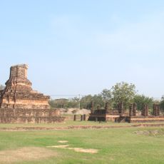
Wat Son Khao
12.8 km
Wat Mae Chon
13 kmDiscover hidden gems everywhere you go!
From secret cafés to breathtaking viewpoints, skip the crowded tourist spots and find places that match your style. Our app makes it easy with voice search, smart filtering, route optimization, and insider tips from travelers worldwide. Download now for the complete mobile experience.

A unique approach to discovering new places❞
— Le Figaro
All the places worth exploring❞
— France Info
A tailor-made excursion in just a few clicks❞
— 20 Minutes