Ban Cha-uat, subdistrict in Chulabhorn district, Nakhon Si Thammarat province, Thailand
Location: Chulabhorn
Inception: December 12, 1993
GPS coordinates: 8.05789,99.93287
Latest update: March 17, 2025 15:37
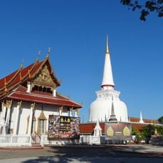
Wat Phra Mahathat
39.5 km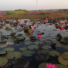
Thale Noi Non-Hunting Area
40.5 km
Nakhon Si Thammarat
42.6 km
Thung Song Junction
30.6 km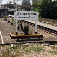
Khao Chum Thong
11.5 km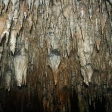
Khao Chang Hai cave
59.7 km
Nakhon Si Thammarat Province Stadium
44.3 km
Wang Chao Mueang Phatthalung
53.8 km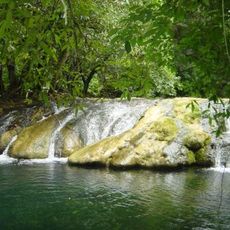
Khao Pu - Khao Ya National Park
37.9 km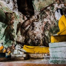
Wat Tham Khuha Sawan
51.4 km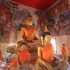
Wat Wang
53.7 km
Wat Khao Daeng Tawan Ok
49.1 km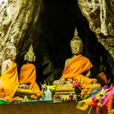
Khao Kang
51.8 km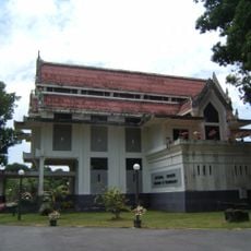
Nakhon Si Thammarat National Museum
38.3 km
Wat Khao Mueang Kao
43.2 km
Wat Tantaya Phirom
66.4 km
Wat Chaeng
43.3 km
Khao Ok Thalu
50.8 km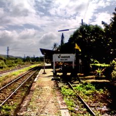
Huai Yot
44.4 km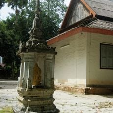
Wat Nikhro Tharam
64.5 km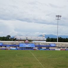
Trang City municipality Stadium
66.2 km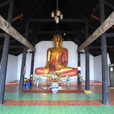
Wat Thao Khot
38.8 km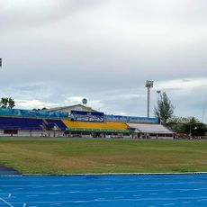
Phattalung Province Stadium
50.7 km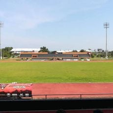
Walailak University Stadium
66.1 km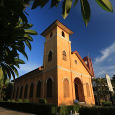
Trang church
66.3 km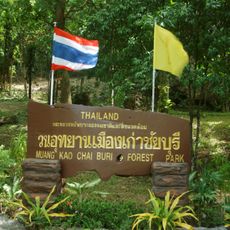
Mueang Kao Chai Buri Forest Park
44 km
Trang Provincial Civil Service Club
65.8 km
Wat Phra Ngoen Rang
42.2 kmReviews
Visited this place? Tap the stars to rate it and share your experience / photos with the community! Try now! You can cancel it anytime.
Discover hidden gems everywhere you go!
From secret cafés to breathtaking viewpoints, skip the crowded tourist spots and find places that match your style. Our app makes it easy with voice search, smart filtering, route optimization, and insider tips from travelers worldwide. Download now for the complete mobile experience.

A unique approach to discovering new places❞
— Le Figaro
All the places worth exploring❞
— France Info
A tailor-made excursion in just a few clicks❞
— 20 Minutes