Enable Location

We need your location to show you interesting places around you

Discover nearby places

Find interesting locations and hidden gems around you

Precise directions

Get accurate directions and distances to places

Your location is never shared with other users. It's only used when you tap the location button.

Aldermaston

Log in to your account

Start exploring — it's free

Trusted by 61,993 travelers worldwide

Continue with Google
Continue with Apple
or

We will send you a code to connect

By continuing, you accept our Terms and Conditions and our Privacy Policy

Check your inbox

We've sent a pincode in your inbox. Please enter the code below.

Aldermaston, Civil parish in West Berkshire, United Kingdom.

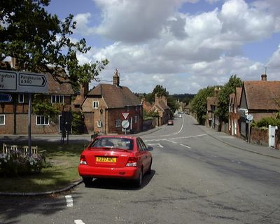
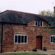
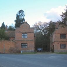
Aldermaston is a civil parish in West Berkshire that sits within the Kennet Valley surrounded by meadows and woodlands. Traditional English buildings line its streets, constructed from locally sourced stone and other regional materials typical of the area.

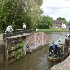
The Domesday Book recorded the settlement in 1086 with a mill and fisheries under William the Conqueror following the Norman invasion. Water-powered mills and fishing rights shaped the village's economic foundation for centuries to come.

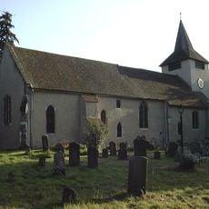
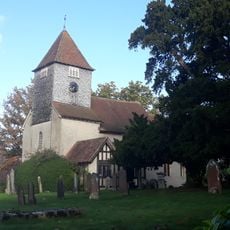
The parish church displays an alabaster monument from 1530 depicting Sir George Forster and his wife, along with notable hatchments of the Congreve family. These crafted works tell the story of local families who held influence in the area for generations.

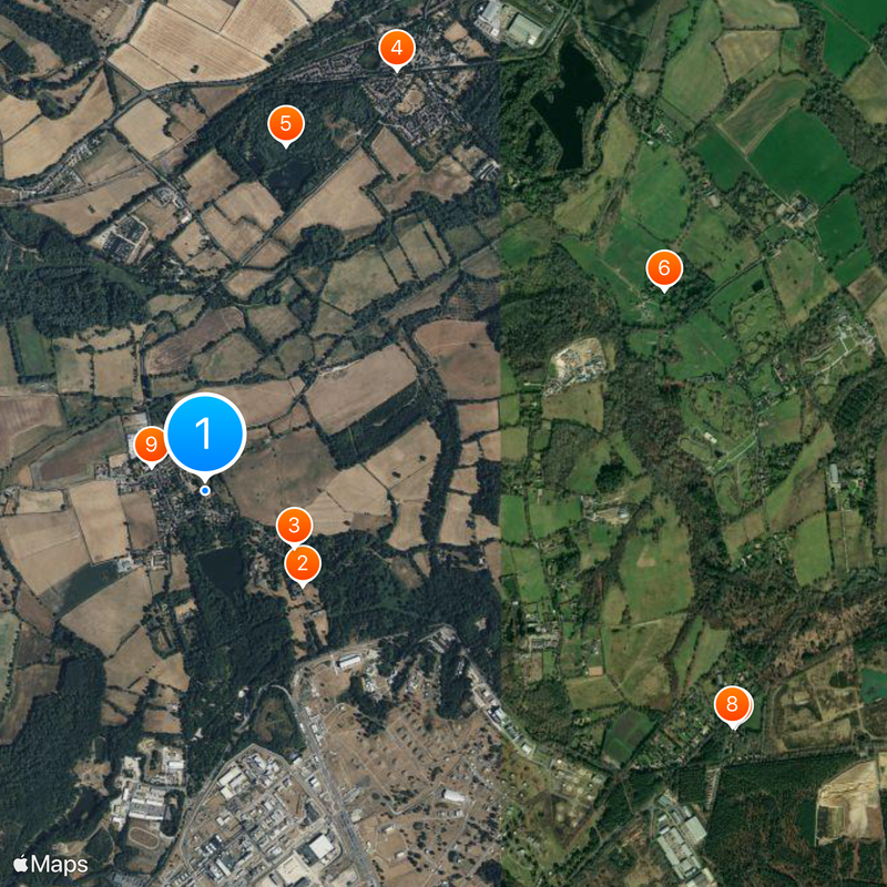
The village sits at roughly equal distances from the larger towns of Reading, Newbury, and Basingstoke, making it a convenient central point. Visitors can easily travel to these nearby towns for shopping, services, or additional attractions in the wider area.

The village maintains one of England's eleven remaining candle auctions, where bidding continues until a pin drops through a burning tallow candle. This rare tradition has remained largely unchanged and offers visitors a glimpse into a medieval trading practice still in use today.

The community of curious travelers

AroundUs brings together thousands of curated places, local tips, and hidden gems, enriched daily by 60,000 contributors worldwide.

Start exploring
Location
GPS coordinates
51.38300,-1.15000
Latest update
December 20, 2025 13:53
Around this place
Aldermaston Court
United Kingdom

Aldermaston Court

616 m
Church of St Mary the Virgin, Aldermaston
United Kingdom

Church of St Mary the Virgin, Aldermaston

477 m
Aldermaston Lock
United Kingdom

Aldermaston Lock

2.1 km
United Kingdom

Aldermaston Gravel Pits

1.6 km
Church of St John the Baptist
United Kingdom

Church of St John the Baptist

2.3 km
United Kingdom

Manse (Now 2 Houses) Attached To The Countess Of Huntingdon's Chapel

2.6 km
Countess Of Huntingdon's Chapel
United Kingdom

Countess Of Huntingdon's Chapel

2.6 km
The Hind's Head Inn
United Kingdom

The Hind's Head Inn

267 m
United Kingdom

Tile Cottage

147 m
United Kingdom

Bridge Over Stream Approximately 25 Metres To North West Of Fisherman's Lodge

2.6 km
North East Lodges And Gates To Aldermaston Court
United Kingdom

North East Lodges And Gates To Aldermaston Court

176 m
United Kingdom

The Dene

214 m
United Kingdom

Bridge House Home School

2.2 km
United Kingdom

Barn End House

968 m
United Kingdom

Grim's Bank: section extending 880yds (795m) in Old Warren

2.3 km
United Kingdom

Barn And Outbuildings Approximately 20 Metres To South East Of Forster's Farmhouse

348 m
United Kingdom

Wall And Blocked Doorway Approximately 10 Metres To East And Approximately 20 Metres To South Of Church Of St Mary

504 m
United Kingdom

10, 11 And 12, Fisherman's Lane

194 m
United Kingdom

22 And 22A, The Street

161 m
Milestone At Su 5936 6711
United Kingdom

Milestone At Su 5936 6711

1.9 km
United Kingdom

Lock Up Approximately 25 Metres To North Of Hind's Head Inn

276 m
United Kingdom

The Old Malthouse

487 m
United Kingdom

K6 Telephone Kiosk Outside The Shop, The Street

240 m
United Kingdom

Barn Aproximately 10 Metres To North Of Frouds Farmhouse

1.3 km
United Kingdom

42 And 43, The Street

234 m
United Kingdom

25, The Street

153 m
United Kingdom

Grim's Bank: section extending 240yds (220m) E of Padworth Gully

2.4 km
United Kingdom

Grim's Bank: section extending 470yds (430m) in Little Heath

2.3 km
Show the full map
« Aldermaston - Civil parish in West Berkshire, United Kingdom » is provided by Around Us (aroundus.com). Images and texts are derived from Wikimedia project under a Creative Commons license. You are allowed to copy, distribute, and modify copies of this page, under the conditions set by the license, as long as this note is clearly visible.

Discover hidden gems everywhere you go!

From secret cafés to breathtaking viewpoints, skip the crowded tourist spots and find places that match your style. Our app makes it easy with voice search, smart filtering, route optimization, and insider tips from travelers worldwide. Download now for the complete mobile experience.

Around Us App Screenshot

A unique approach to discovering new places

Le Figaro

All the places worth exploring

France Info

A tailor-made excursion in just a few clicks

20 Minutes

Around Us
Travel Guide & Maps
Download

Send to your phone

QR Code
1

Open the camera app on your mobile.

2

Point at the QR code with your camera. A notification will appear.

3

Tap the notification to open the link.