Cricklade, town and civil parish in north Wiltshire in England
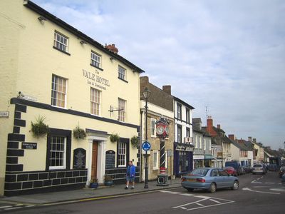
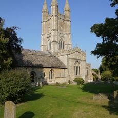
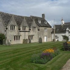
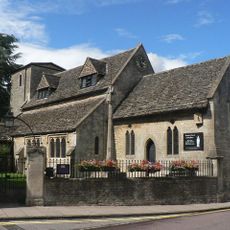
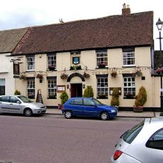
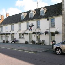
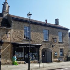
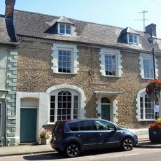
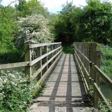
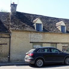
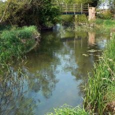
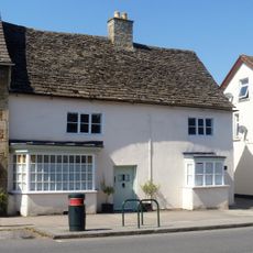
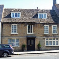
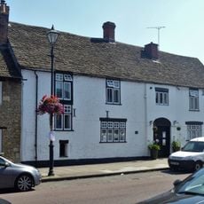
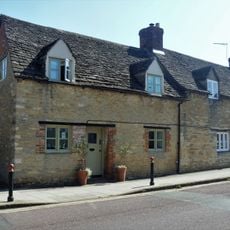
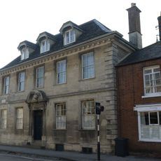
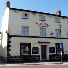
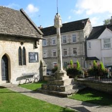
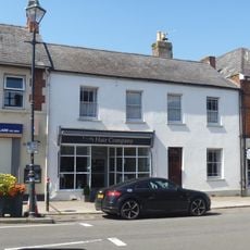
Cricklade is a small town beside the River Thames in Wiltshire with a quiet, friendly atmosphere. The houses and shops are simple and well-kept, with some historic buildings like St. Sampson's Church, whose tower from the 16th century can be seen from many parts of the town.
Cricklade was founded in the 9th century and grew because it was a crossing point where a Roman road met the river. The town was part of King Alfred's burh defense system and housed a mint from roughly 979 to 1100, with coins from that period kept in the town museum.
The name Cricklade may derive from old words meaning either a difficult river crossing or a rocky hill. The regular street pattern behind the main street shows how residents organized the community over centuries.
Cricklade is easy to reach, sitting just off the A419 road north of Swindon and near the M4 motorway. The nearest train stations are in Swindon and Kemble with direct services to London.
The town was one of the few places with a Saxon mint, and archaeologists have found remains of the fortifications built from stone and turf. The site is therefore a rare example of early English fortification architecture from King Alfred's time.
The community of curious travelers
AroundUs brings together thousands of curated places, local tips, and hidden gems, enriched daily by 60,000 contributors worldwide.