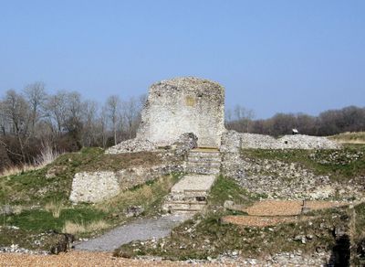
Clarendon Palace, Medieval castle ruins in Clarendon Park, England
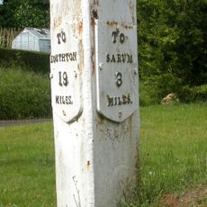
Clarendon Palace is a medieval castle ruin in a park near Salisbury, with stone walls and foundations arranged around a central courtyard. The remains spread across a large area, giving a clear picture of how a royal residence was laid out in medieval times.
King Henry II used this palace in the 12th century as a center for royal power and important decisions. After serving the crown for several centuries, the site gradually lost its importance and was eventually abandoned.
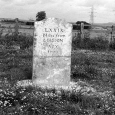
The name derives from the clear springs that once supplied the royal residence, reflecting the importance of water management in medieval planning. Visitors today can still trace where these systems ran through the foundations, showing how comfort and supply shaped daily life for royal inhabitants.
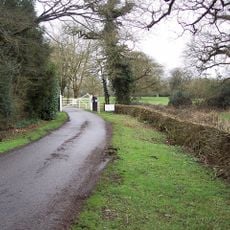
You can walk through the ruins along marked pathways that lead between the different sections and remains. Visit in dry weather if possible, as the ground can become muddy after rain.
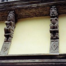
Excavations conducted over several decades uncovered personal items and household objects that reveal how the royal household actually lived day to day. These findings offer an unusually detailed window into the everyday routines of a medieval court.
The community of curious travelers
AroundUs brings together thousands of curated places, local tips, and hidden gems, enriched daily by 60,000 contributors worldwide.