Pontcysyllte Aqueduct

Log in to your account

AroundUs is a community-driven map of interesting places, built by curious explorers like you. It grows with every review, story, and photo you share.
Connect to save your favorite spots, contribute locations, and create personalized routes.
Continue with Google
Continue with Apple
Continue with X
Continue with Facebook
Continue with email
By continuing, you accept our Terms and Conditions and our Privacy Policy
Create an account
Add to collection
Map
Suggest a change
Share

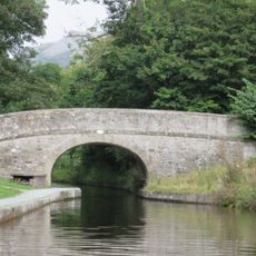
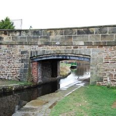
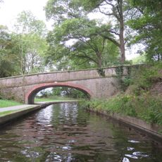
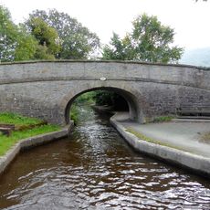
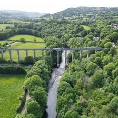
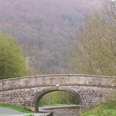
Pontcysyllte Aqueduct, Navigable aqueduct in Llangollen, Wales

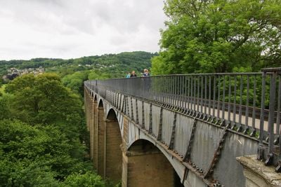
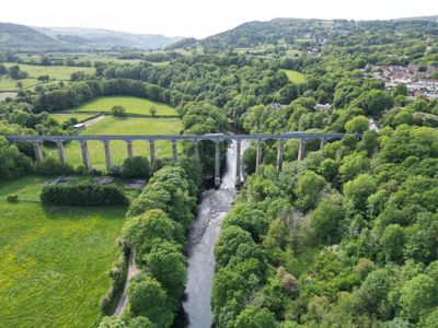
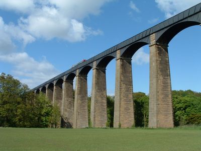
The Pontcysyllte Aqueduct spans 307 meters (1007 feet) across the Dee Valley, supported by nineteen masonry pillars that hold a cast iron trough 40 meters (131 feet) above the river. The pillars taper upward and rest on wide bases of local stone, while the iron trough carries the canal water.

Engineers Thomas Telford and William Jessop completed the construction in 1805 as part of a project linking English industrial areas with North Wales quarries. The construction took ten years and required innovative techniques to join the cast iron plates and anchor the pillars on marshy ground.

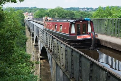
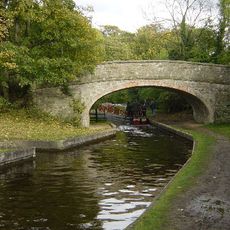
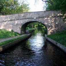
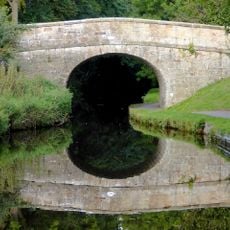
The structure includes a narrow walkway fixed to one side of the iron beam, where visitors see the wooded slopes of the valley and canal boats gliding slowly over the water surface. The iron railing yields slightly under footsteps, adding to the sense of height and exposure.

Three car parks along the A539 provide access to footpaths leading directly to the structure, starting from either end. The walkway is narrow and open to the water side without barriers, so visitors with fear of heights or limited mobility should consider the crossing carefully.

The iron trough expands on hot days and contracts in cold weather, changing the total length by several centimeters. The construction remains watertight because the joints between iron plates were sealed with a mixture of flannel and white lead, a technique still working today.

Location: Llangollen Rural

Architects: Thomas Telford, William Jessop

Elevation above the sea: 63.6 m

Height: 40 m

Length: 307 m

Made from material: brick, cast iron

Part of: Llangollen Canal

Address: Station Rd, Trevor, Llangollen LL20 7TY, UK

Phone: +441978822912

Website: http://pontcysyllte-aqueduct.co.uk

GPS coordinates: 52.97020,-3.08782

Latest update: December 12, 2025 17:50

Photos
Visit Wales: medieval castles, national parks, and coasts

Wales features a region with three national parks, including Brecon Beacons and the Pembrokeshire coast park, as well as fortresses like Conwy and Caernarfon castles built by Edward I in the 13th century, and religious buildings such as St. David's Cathedral. The coastline alternates between red...

Reviews

Visited this place? Tap the stars to rate it and share your experience / photos with the community! Try now! You can cancel it anytime.

« Pontcysyllte Aqueduct - Navigable aqueduct in Llangollen, Wales » is provided by Around Us (aroundus.com). Images and texts are derived from Wikimedia project under a Creative Commons license. You are allowed to copy, distribute, and modify copies of this page, under the conditions set by the license, as long as this note is clearly visible.

Discover hidden gems everywhere you go!

From secret cafés to breathtaking viewpoints, skip the crowded tourist spots and find places that match your style. Our app makes it easy with voice search, smart filtering, route optimization, and insider tips from travelers worldwide. Download now for the complete mobile experience.

Around Us App Screenshot

A unique approach to discovering new places

Le Figaro

All the places worth exploring

France Info

A tailor-made excursion in just a few clicks

20 Minutes