Blackwood, Commercial town in Caerphilly County Borough, Wales
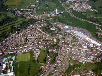
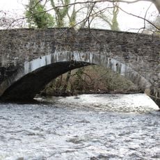
Blackwood is a town in the South Wales Valleys situated along the Sirhowy River, with a central shopping district and homes spread across the surrounding hills. The Chartist Bridge connects the valley's eastern and western sides, helping organize how the place is structured.
The town took shape in the early 1800s through development by John Hodder Moggridge and soon became central to the Chartist movement for social reform. This role in the reform struggle marked the place as an important center for working people's rights.
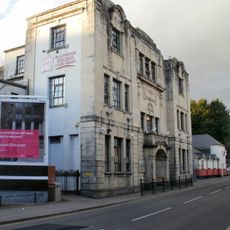
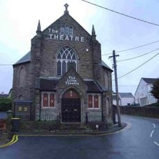
The Miners Institute, serving as a community gathering place since 1925, hosts theater productions, concerts, and local events throughout the year. The venue remains central to how people here celebrate and share their heritage together.
The town center is easy to navigate on foot, with the Chartist Bridge serving as the main crossing between valley sections. Shopping and services cluster around the downtown area, making it straightforward to explore what the place offers.
A resident named Artie Moore picked up the Titanic's distress signals in 1912 and later helped advance wireless technology as a Marconi scientist. His connection shows how this valley town played a small but real part in major technological breakthroughs.
The community of curious travelers
AroundUs brings together thousands of curated places, local tips, and hidden gems, enriched daily by 60,000 contributors worldwide.