Pershore, Market town in Wychavon, England
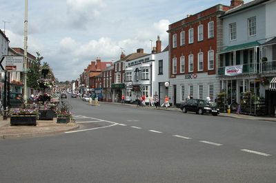
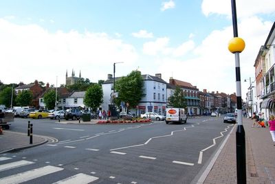
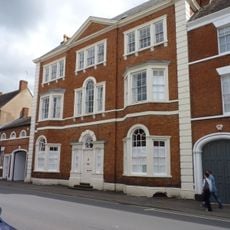
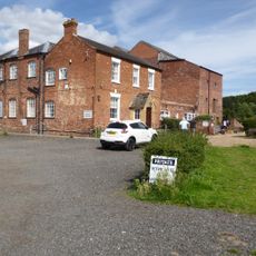
Pershore sits on the banks of the River Avon, with independent shops running along Broad Street and traditional buildings throughout the town center. The streets feature historic structures from different periods, creating the look of a typical English market town.
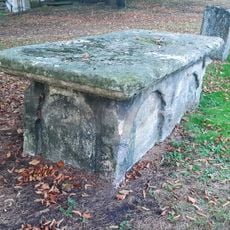
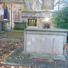
Roman villa remains discovered nearby show that people lived here over two thousand years ago. Continuous settlement through the ages has shaped this town into an important place in English history.
The Pershore Plum Festival celebrates the region's farming roots and brings together growers and shoppers interested in local produce. The plum has shaped community life here for generations and remains central to how locals see their town.
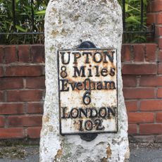
The town has several parking options near the shopping areas, and trains depart regularly from Station Road to Worcester and London. Visitors will find good access and convenient connections to other places in the region.
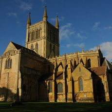
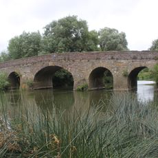
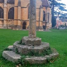
Westminster Abbey held responsibility for the old Pershore Bridge into the early 20th century, showing the town's deep church connections. This unusual link between one of England's most important churches and a local bridge is rarely remembered today.
Location: Wychavon
Website: http://pershorepage.com
GPS coordinates: 52.11400,-2.08000
Latest update: December 20, 2025 12:54
Pershore Abbey
412 mNumber 8
544 m
Milestone, Abbey Park, just S of Broad St., by housing estate called 'The Milestone'
639 m
Church of St Anne
1.9 km
Former Church of St Andrew
425 mTalbot Inn
257 mThe Plough Inn
97 mThe New Inn
316 m
Pershore Bridge
1.2 kmPershore Bridge - North Bridge
1.2 kmCordwainers Cottage
286 m
Amerie House
308 m
The Ley School
824 mPershore Hall
542 mRailings And Gate Approximately 100 Metres To Rear Of Number 17 Perrot House
727 m
Midland Bank
577 m
Bridge House
606 m
Chest Tomb Approximately 16 Meters West North West Of North East Gate Of Abbey Churchyard
380 m
Group Of 4 Tombs Approximately 3 To 12 Metres North Of North Entrance Of Abbey Church
399 m
Perrott House
684 m
K6 Telephone Kiosk At Front Of Number 37 High Street
445 m
Wyre Mill
1.2 km
Cross Approximately 20 Metres South Of South Chancel Wall Of Abbey Church
465 m101 And 103, High Street
219 m35, Three Springs Road
613 m2, Worcester Road
35 m103A, High Street
216 m102, High Street
224 mVisited this place? Tap the stars to rate it and share your experience / photos with the community! Try now! You can cancel it anytime.
Discover hidden gems everywhere you go!
From secret cafés to breathtaking viewpoints, skip the crowded tourist spots and find places that match your style. Our app makes it easy with voice search, smart filtering, route optimization, and insider tips from travelers worldwide. Download now for the complete mobile experience.
A unique approach to discovering new places❞
— Le Figaro
All the places worth exploring❞
— France Info
A tailor-made excursion in just a few clicks❞
— 20 Minutes