Enable Location

We need your location to show you interesting places around you

Discover nearby places

Find interesting locations and hidden gems around you

Precise directions

Get accurate directions and distances to places

Your location is never shared with other users. It's only used when you tap the location button.

Corby

Log in to your account

Start exploring — it's free

Trusted by 67,422 travelers worldwide

Continue with Google
Continue with Apple
or

We will send you a code to connect

By continuing, you accept our Terms and Conditions and our Privacy Policy

Check your inbox

We've sent a pincode in your inbox. Please enter the code below.

Discussion Reviews 3 Photos
91.8k Popularity

Corby, Industrial town in North Northamptonshire, England

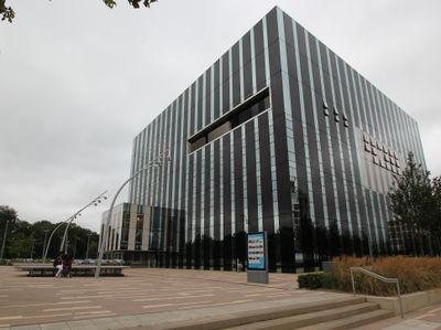
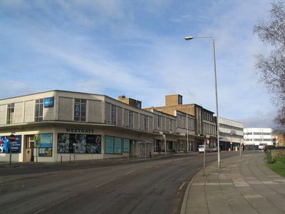
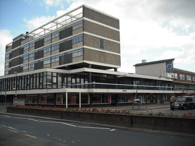
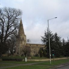
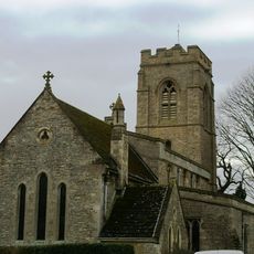
Corby is a town in North Northamptonshire, roughly 90 kilometers north of London, with brick housing estates and wide roads running between gentle hills. The center combines shopping areas with low buildings and parks, while villages and open fields shape the surrounding landscape.

Development started in the 1930s with the opening of a steelworks that drew thousands of workers from Scotland. The works closed in 1980, yet the connections to Scotland continue to shape the town today.

The Scottish background appears in the accents of many residents and in shops selling Scottish products. On weekends you often hear Scottish music in the pubs, while families follow old traditions from Glasgow and Edinburgh.

The railway station sits centrally and offers direct connections to London in under an hour. Buses run between housing areas and the center, parking is usually free throughout.

Every twenty years the Pole Fair takes place, a festival with parade and fairground rides that goes back to an old royal charter. The next celebration is planned for 2022 and draws visitors from across England.

The community of curious travelers

AroundUs brings together thousands of curated places, local tips, and hidden gems, enriched daily by 60,000 contributors worldwide.

Start exploring
Inception
April 1, 2021
Shares border with
Oakham
GPS coordinates
52.49139,-0.69639
Latest update
December 13, 2025 15:38
Around this place
Rockingham Motor Speedway
United Kingdom

Rockingham Motor Speedway

3.7 km
Rockingham Castle
United Kingdom

Rockingham Castle

3 km
Corby Cube
United Kingdom

Corby Cube

719 m
King's Wood, Corby
United Kingdom

King's Wood, Corby

2.8 km
Stoke Wood End Quarter
United Kingdom

Stoke Wood End Quarter

3.5 km
Great Oakley Meadow
United Kingdom

Great Oakley Meadow

4 km
Church of St John the Baptist
United Kingdom

Church of St John the Baptist

1.2 km
Church of St Leonard, Rockingham
United Kingdom

Church of St Leonard, Rockingham

3.1 km
Church of St Michael
United Kingdom

Church of St Michael

3.4 km
Church of St Peter
United Kingdom

Church of St Peter

3.4 km
Church of St Peter
United Kingdom

Church of St Peter

3.6 km
United Kingdom

Knights Lodge Public House

2.5 km
United Kingdom

The Spread Eagle Public House

3.9 km
United Kingdom

L-Shaped Range Of Barn And Outbuildings, Circa 20 Metres North West Of Manor Farmhouse

3.4 km
Great Oakley Hall and Attached Gazebo
United Kingdom

Great Oakley Hall and Attached Gazebo

3.4 km
Curtain Wall, Gates And Gatepiers Attached To And Approximately 50 Metres North And West Of Rockingham Castle
United Kingdom

Curtain Wall, Gates And Gatepiers Attached To And Approximately 50 Metres North And West Of Rockingham Castle

3.1 km
United Kingdom

Moat Cottage

3.3 km
United Kingdom

Paddock Cottage

3.3 km
United Kingdom

Tithe Barn Cottage

3.6 km
United Kingdom

Pair Of Headstones Approximately 2 Metres South Of Chancel Of Church Of St Michael

3.5 km
United Kingdom

Chest Tomb 6 Metres South Of South Porch Of Church Of St Michael

3.5 km
United Kingdom

Roman road in Hazel Wood

1 km
United Kingdom

Shire House

3.2 km
Weldon Lodge
United Kingdom

Weldon Lodge

3.9 km
United Kingdom

Lower Lodge

3 km
United Kingdom

Stables And Coachouse Approximately 75 Metres South East Of Great Oakley Hall

3.3 km
United Kingdom

Chest Tomb Approximately 12 Metres South Of South Aisle Of Church Of St John The Baptist

1.2 km
United Kingdom

2 Cisterns Approximately 30 Metres North West Of Great Oakley Hall

3.4 km
Show the full map
Reviews
Share your experience

No review yet

Discussions
Start a discussion...

No discussion yet

« Corby - Industrial town in North Northamptonshire, England » is provided by Around Us (aroundus.com). Images and texts are derived from Wikimedia project under a Creative Commons license. You are allowed to copy, distribute, and modify copies of this page, under the conditions set by the license, as long as this note is clearly visible.

Discover hidden gems everywhere you go!

From secret cafés to breathtaking viewpoints, skip the crowded tourist spots and find places that match your style. Our app makes it easy with voice search, smart filtering, route optimization, and insider tips from travelers worldwide. Download now for the complete mobile experience.

Around Us App Screenshot

A unique approach to discovering new places

Le Figaro

All the places worth exploring

France Info

A tailor-made excursion in just a few clicks

20 Minutes

Around Us
Travel Guide & Maps
Download

Send to your phone

QR Code
1

Open the camera app on your mobile.

2

Point at the QR code with your camera. A notification will appear.

3

Tap the notification to open the link.