
East Sutton, village and civil parish in Kent, UK
Location: Maidstone
Shares border with: Leeds
GPS coordinates: 51.21580,0.61583
Latest update: April 22, 2025 00:23
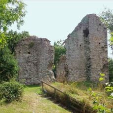
Sutton Valence Castle
1.3 km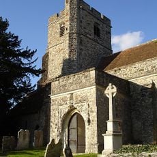
All Saints Church
1.9 km
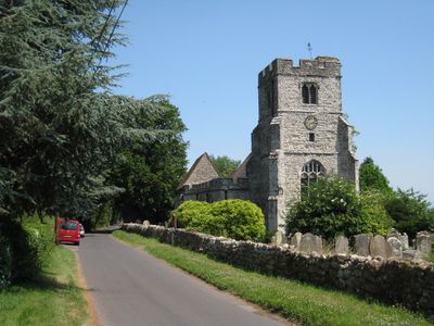
St Peter's and St Paul's Church, East Sutton
13 m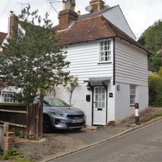
Laurel Cottage
1.4 km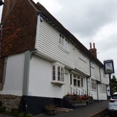
The Swan Public House
1.4 km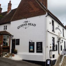
The Queens Head Public House
1.7 km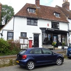
Parish Council Offices The Post Office
1.4 km
Aylmer House And House Adjoining To Left
1.4 km
Former Almshouses, Now Part Of Sutton Valence School
1.6 km
Parsonage Farmhouse
580 m
Central Stores Sutton Dene
1.5 km
The White House
1.4 km
Sun Cottages
1.3 km
Ye Old Poste House
1.5 km
Hillside House
1.7 km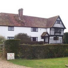
Kingsnorth Manor Farmhouse
2.9 km
Linden House
1.5 km
Manor Farmhouse
1.8 km
Lady Mor The Old Bakery
1.4 km
2 And 3, Tumblers Hill
1.3 km
Barn About 5 Metres South Of Valence House
1.4 km
4, Tumblers Hill
1.3 km
Court House
1.4 km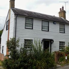
Jasmine Cottage
1.4 km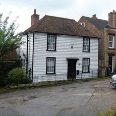
Valence Green Cottage
1.6 km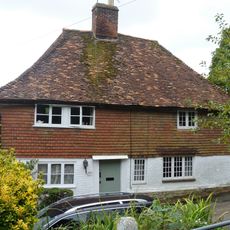
Candy Cottage Townwell Cottage
1.6 km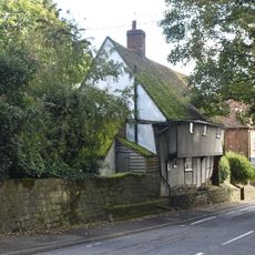
Heaven Cottage
1.7 km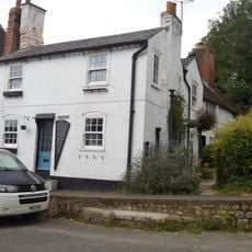
Waggs Cottage
1.4 kmVisited this place? Tap the stars to rate it and share your experience / photos with the community! Try now! You can cancel it anytime.
Discover hidden gems everywhere you go!
From secret cafés to breathtaking viewpoints, skip the crowded tourist spots and find places that match your style. Our app makes it easy with voice search, smart filtering, route optimization, and insider tips from travelers worldwide. Download now for the complete mobile experience.

A unique approach to discovering new places❞
— Le Figaro
All the places worth exploring❞
— France Info
A tailor-made excursion in just a few clicks❞
— 20 Minutes