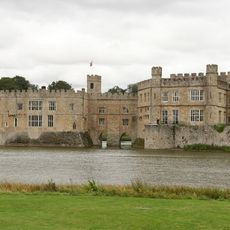
Maidstone, Administrative district in Kent, England
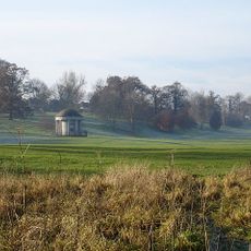
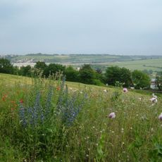
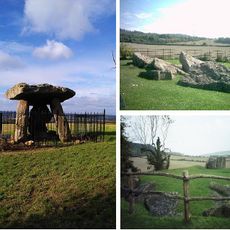
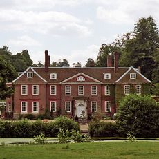
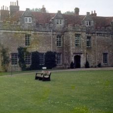
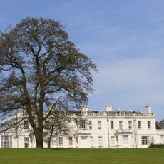
Maidstone is an administrative district in Kent that extends from the M2 motorway in the north to Staplehurst in the south. The area includes multiple settlements and combines developed urban spaces with rural land across the region.
The administrative district was created in 1974 through the merger of Maidstone town with the surrounding rural districts of Maidstone and Hollingbourne. This administrative reform was part of a nationwide restructuring of local government boundaries in Britain.
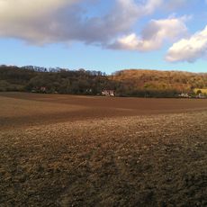
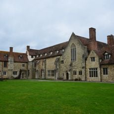
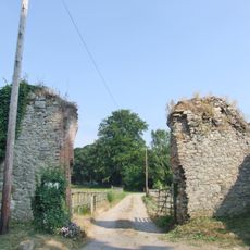
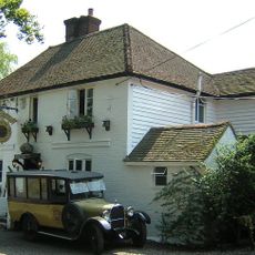
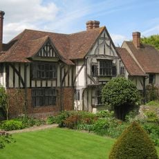
The district brings together urban neighborhoods and village communities with distinct local identities. Residents experience different rhythms of life depending on whether they live in town centers or in the surrounding countryside.
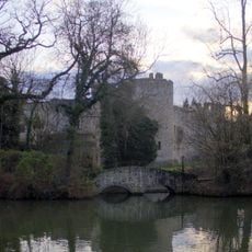
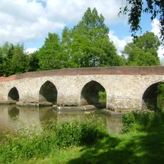
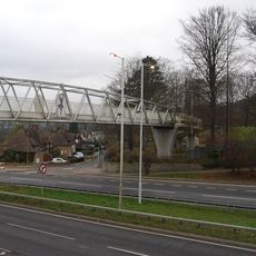
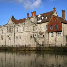
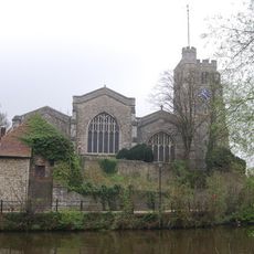
The area is characterized by different transportation routes that connect its various parts. The River Medway provides a natural reference point for navigating across the different communities throughout the territory.
The area has about 49 representatives from 22 wards reflecting the region's diversity. This distributed structure allows local needs to be addressed in both large towns and smaller communities.
The community of curious travelers
AroundUs brings together thousands of curated places, local tips, and hidden gems, enriched daily by 60,000 contributors worldwide.