Enable Location

We need your location to show you interesting places around you

Discover nearby places

Find interesting locations and hidden gems around you

Precise directions

Get accurate directions and distances to places

Your location is never shared with other users. It's only used when you tap the location button.

Greensand Way

Log in to your account

Start exploring — it's free

Trusted by 62,856 travelers worldwide

Continue with Google
Continue with Apple
or

We will send you a code to connect

By continuing, you accept our Terms and Conditions and our Privacy Policy

Check your inbox

We've sent a pincode in your inbox. Please enter the code below.

Greensand Way

Greensand Way, long-distance path in England

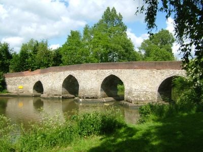
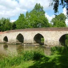
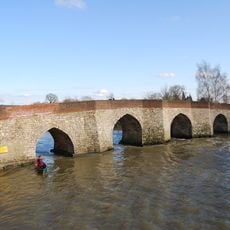
The Greensand Way is a long-distance walking route stretching across Surrey and Kent that follows a ridge of green-colored sandstone. The trail weaves through wooded areas, open fields, and small villages, with the terrain varying from gentle paths to steeper climbs over rolling hills.

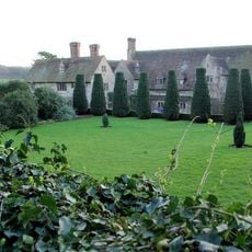
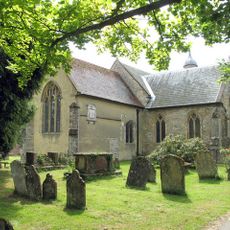
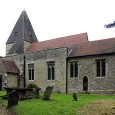
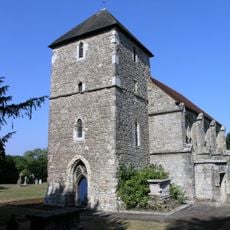
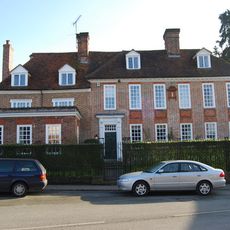
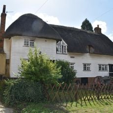
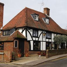
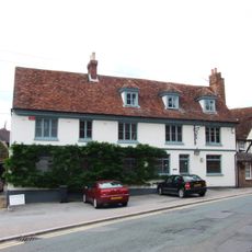
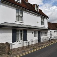
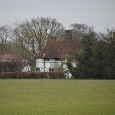
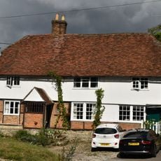
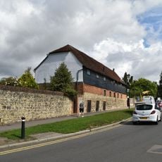
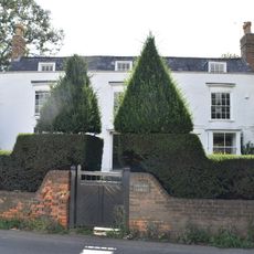
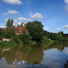
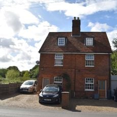
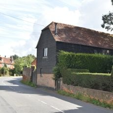
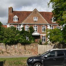
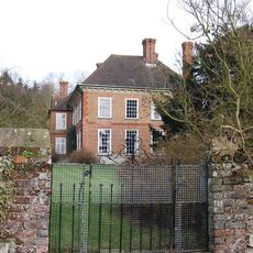
The trail was created in the early 1980s in Surrey and later extended into Kent in the late 1980s, growing into the route seen today. Along the way stand historic churches, manor houses, and former estates built by wealthy families over centuries of settlement in the region.

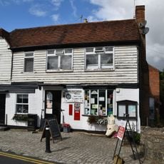
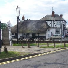
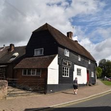
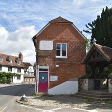
The trail passes through villages where traditional pubs and local shops reflect countryside life, and residents welcome visitors with stories about the area. Walking through these settlements offers a glimpse into how rural communities have developed and continue to live today.

The trail is well marked with circular signs and can be walked in either direction at your own pace. It is helpful to carry a detailed map, especially when walking remote sections, and villages along the way offer regular rest stops with food and drinks.

Leith Hill, the highest point in the southeast of England, sits along the route with a tower offering views stretching to the sea and across London. The trail also passes the Devil's Punchbowl at Hindhead, a striking natural depression surrounded by woodland that feels wild and inviting.

The community of curious travelers

AroundUs brings together thousands of curated places, local tips, and hidden gems, enriched daily by 60,000 contributors worldwide.

Start exploring
GPS coordinates
51.17720,-0.37583
Latest update
February 7, 2026 11:01
« Greensand Way - long-distance path in England » is provided by Around Us (aroundus.com). Images and texts are derived from Wikimedia project under a Creative Commons license. You are allowed to copy, distribute, and modify copies of this page, under the conditions set by the license, as long as this note is clearly visible.

Discover hidden gems everywhere you go!

From secret cafés to breathtaking viewpoints, skip the crowded tourist spots and find places that match your style. Our app makes it easy with voice search, smart filtering, route optimization, and insider tips from travelers worldwide. Download now for the complete mobile experience.

Around Us App Screenshot

A unique approach to discovering new places

Le Figaro

All the places worth exploring

France Info

A tailor-made excursion in just a few clicks

20 Minutes

Around Us
Travel Guide & Maps
Download

Send to your phone

QR Code
1

Open the camera app on your mobile.

2

Point at the QR code with your camera. A notification will appear.

3

Tap the notification to open the link.