Enable Location

We need your location to show you interesting places around you

Discover nearby places

Find interesting locations and hidden gems around you

Precise directions

Get accurate directions and distances to places

Your location is never shared with other users. It's only used when you tap the location button.

North Downs Way

Log in to your account

Start exploring — it's free

Trusted by 63,533 travelers worldwide

Continue with Google
Continue with Apple
or

We will send you a code to connect

By continuing, you accept our Terms and Conditions and our Privacy Policy

Check your inbox

We've sent a pincode in your inbox. Please enter the code below.

North Downs Way
Discussion Reviews 1 Photos
18.9k Popularity

North Downs Way, National Trail in southern England

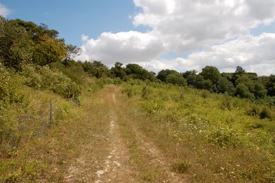
The North Downs Way is a long-distance footpath in southern England that stretches for 153 miles from Farnham to Dover. The path runs along chalk ridge tops, through beech woodlands and open meadows, where wide views open across the surrounding valleys.

The official National Trail opened in 1978 and partly follows paths that served as pilgrimage routes during medieval times. The chalk formation was created around 100 million years ago, and the ridge tops have been used as travel routes since the Bronze Age.

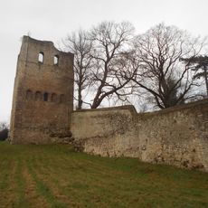
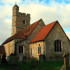
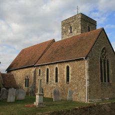
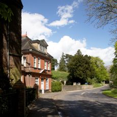
Walkers follow a path that pilgrims have used for centuries. The route passes through villages that have kept their medieval layout and offers insight into the rural landscape of southern England with its sheep pastures and orchards.

The path divides at Boughton Lees into two variants, one passing through Canterbury and the other through Wye. Both sections are well marked and end in Dover, where walkers can choose depending on their time and fitness level.

Fossils of sea urchins and shells are often found in the chalk soil along the path. The white cliffs at Dover that appear at the end of the route are made from the same chalk as the hills walkers cross during the first miles.

The community of curious travelers

AroundUs brings together thousands of curated places, local tips, and hidden gems, enriched daily by 60,000 contributors worldwide.

Start exploring
Operator
National Trails
GPS coordinates
51.30000,0.40000
Latest update
December 5, 2025 22:29
Around this place
Show the full map
Reviews
Share your experience

No review yet

Discussions
Start a discussion...

No discussion yet

« North Downs Way - National Trail in southern England » is provided by Around Us (aroundus.com). Images and texts are derived from Wikimedia project under a Creative Commons license. You are allowed to copy, distribute, and modify copies of this page, under the conditions set by the license, as long as this note is clearly visible.

Discover hidden gems everywhere you go!

From secret cafés to breathtaking viewpoints, skip the crowded tourist spots and find places that match your style. Our app makes it easy with voice search, smart filtering, route optimization, and insider tips from travelers worldwide. Download now for the complete mobile experience.

Around Us App Screenshot

A unique approach to discovering new places

Le Figaro

All the places worth exploring

France Info

A tailor-made excursion in just a few clicks

20 Minutes

Around Us
Travel Guide & Maps
Download

Send to your phone

QR Code
1

Open the camera app on your mobile.

2

Point at the QR code with your camera. A notification will appear.

3

Tap the notification to open the link.