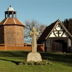
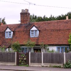
Wickford, Town and civil parish in Essex, England
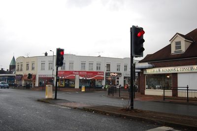
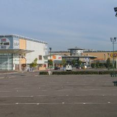
Wickford is a town and civil parish in Essex that lies along the River Crouch within the Borough of Basildon. The center has developed around the historic river crossing and forms a natural focal point between surrounding communities.
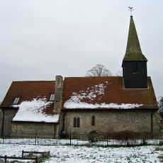
Archaeological evidence reveals Roman military occupation through a marching camp at Beauchamps Farm, which later transformed into a villa settlement. Following the Roman period, the area came under Saxon control, as documented in written records from 995 onward.
The name Wickford originates from a Saxon charter of 995, referring to a ford near a wych elm or a dairy farm. This naming reflects how early settlements often grew around water sources and farming activities.
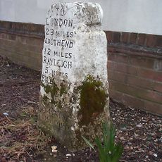
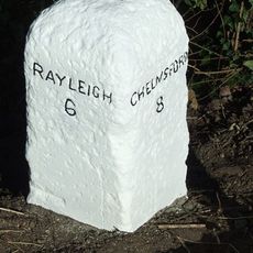
The railway station offers train connections to London Liverpool Street and Southend Victoria, reaching the capital in roughly 40 minutes. Being positioned along the river makes the town center easy to navigate on foot with natural landmarks to guide you.
A major flood in the 1950s caused severe damage to the town center, with a double-decker bus partially submerged overnight at Halls Corner. This event shaped local awareness of flood risks and influenced how the community approached future planning.
Location: Basildon
GPS coordinates: 51.61140,0.52070
Latest update: December 20, 2025 15:58
Dale Farm
3.7 km
Festival Leisure Park
4.9 km
Northlands Park, Basildon
4.1 km
Shotgate Thickets
2.4 km
Crowsheath Wood
3.7 km
Church of All Saints
3.6 km
Pitsea Memorial Statue
5.1 km
The Barge Inn
3.7 km
Church of St Catherine
881 m
Church of St Peter
4.8 km
Church of St Peter
2.8 km
Church of St Nicholas
3.4 km
Church of All Saints
3.6 km
Church of St Mary
1.3 km
Church of St Mary
3.8 km
Church of Holy Cross
4.7 km
Church of St Mary
2.9 km
Milestone On North Verge In Front Of Rockhaven And Approximately 30 Metres West Of Church Road
2.8 km
Fryerns Library
4.9 km
Downham War Memorial
2.6 km
34, London Road
257 m
Milestone At Junction Of London Road And Nevendon Road
75 m
Milestone At Tq 7796
4.1 km
Battlesbridge
3.7 km
Milestone, Chelmsford Road, dual carriageway S of Rawreth
3.9 km
Milestone, Crays Hill
3.1 km
Milestone, London Road, 50m W of Rayleigh electrical sub-station
3.6 km
Milestone, London Road, nr jct with Victoria Avenue
5.1 kmVisited this place? Tap the stars to rate it and share your experience / photos with the community! Try now! You can cancel it anytime.
Discover hidden gems everywhere you go!
From secret cafés to breathtaking viewpoints, skip the crowded tourist spots and find places that match your style. Our app makes it easy with voice search, smart filtering, route optimization, and insider tips from travelers worldwide. Download now for the complete mobile experience.
A unique approach to discovering new places❞
— Le Figaro
All the places worth exploring❞
— France Info
A tailor-made excursion in just a few clicks❞
— 20 Minutes