Carsington Water, Reservoir in Derbyshire, United Kingdom
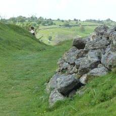
Carsington Water is a man-made lake in Derbyshire, sitting in a valley surrounded by rolling farmland and wooded slopes. The body of water was built to supply the local area with drinking supplies and now also serves as a popular recreation site.
Work began in the late 1970s and was interrupted by the failure of the original embankment, which required the entire structure to be redesigned and rebuilt. The site opened for public use in the early 1990s after a lengthy construction process.
The visitor center presents detailed exhibits about water management, local ecosystems, and environmental education programs for school groups and community organizations.
A paved trail runs around the perimeter and works well for walking or cycling, with most sections suitable for pushchairs and wheelchairs. Several access points along the shore provide entry for anglers and water sports users, with specific zones set aside for different activities.
The water does not come from local streams but is pumped in from the River Derwent through underground pipes and released back when needed. This transfer happens seasonally, so the level can change noticeably depending on rainfall and demand.
The community of curious travelers
AroundUs brings together thousands of curated places, local tips, and hidden gems, enriched daily by 60,000 contributors worldwide.