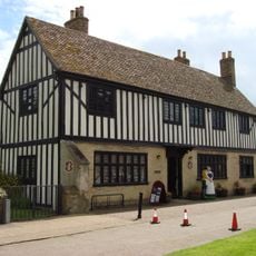
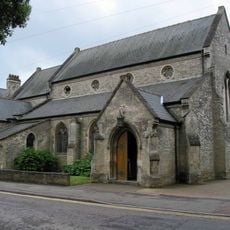
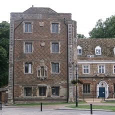
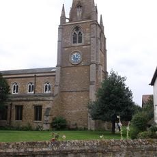
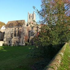
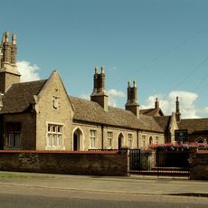
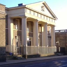
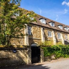
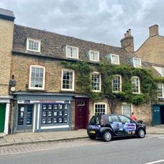
Isle of Ely, Historical region in Cambridgeshire, England
The Isle of Ely is a former region in Cambridgeshire that sits on elevated ground standing above the surrounding Fenland landscape. The area was reshaped by a network of canals built by Dutch engineers to drain the marshes and create usable land.
The region served as a defensive center during the Norman invasion of 1071, where local leaders resisted the new rulers. This early importance meant the area remained a significant part of England for centuries to come.
The name comes from the eels that were once caught in local rivers and formed an important food source for residents. This connection to eel fishing remains part of the area's identity today.
The best way to explore this area is to take time walking or driving through to see the canals and the landscape that now forms part of modern Cambridgeshire. Understanding its history helps you appreciate how the land was shaped over time.
The region operated as an independent administrative county from 1889 to 1965 with its own local government before joining modern Cambridgeshire. This period as a separate entity makes it a distinct chapter in English administration.
The community of curious travelers
AroundUs brings together thousands of curated places, local tips, and hidden gems, enriched daily by 60,000 contributors worldwide.