Holmes Chapel, Civil parish near Crewe, United Kingdom
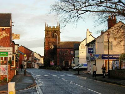
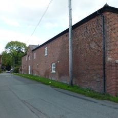
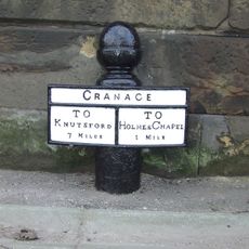
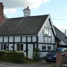
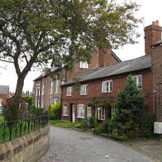
Holmes Chapel is a village in Cheshire near Crewe, spreading across the landscape with a residential heart and a central area containing shops and local services. The settlement centers around The Square, which historically served as the focal point for markets and gatherings.
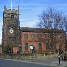
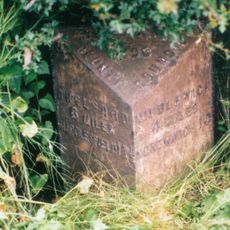
The village originated in the 13th century from a chapel and was formerly called Church Hulme before transforming into a settlement with market functions. This shift from a religious site to a trading center shaped the form the community takes today.
The settlement grew around a medieval chapel that gave it its name and remains a focal point for the community today. Residents and visitors find themselves in a place where local traditions and everyday activities shape the rhythm of daily life.
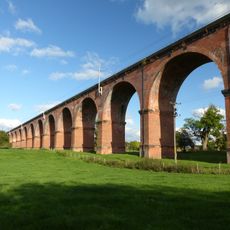
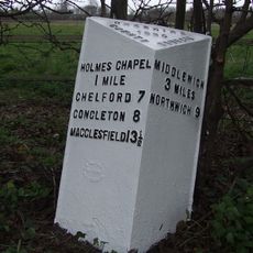
The village sits on a railway line with regular service to nearby cities, and the M6 motorway provides road access for those traveling by car. Walking around the center is the best way to see the shops and local facilities that make up the community.
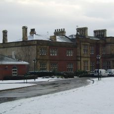
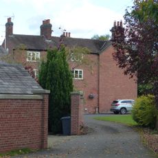
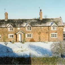
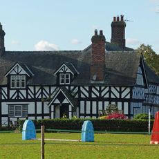
Cotton Hall is a 15th-century manor that belonged to the Cotton family for generations and now holds Grade II* listed status. This building represents a long-standing local connection to a prominent family whose influence shaped the area over centuries.
Location: Cheshire East
Elevation above the sea: 63 m
Shares border with: Cranage, Sproston, Brereton, Twemlow
GPS coordinates: 53.20400,-2.35300
Latest update: December 14, 2025 17:44
Cranage Hall
1.7 km
St Luke's Church, Holmes Chapel
374 m
Twemlow Viaduct
659 m
Hermitage Bridge
355 m
The Red Lion
379 m
Holmes Chapel Library
451 m
Pillared haybarn 80 metres north west of Park House Farmhouse
1.9 km
Park House Farmhouse
1.9 km
Milepost at 7678 6587
1.6 km
Farm building comprising barn, shippon, stables and cartshed 40 metres west of Park House Farmhouse
1.9 km
Bridge Farmhouse
386 m
Mile post 5 metres south of Byley Lane junction
1.7 km
Hollins Farmhouse
872 mSwan Farmhouse
1.4 km
Park Mill And Park Cottage
1.8 kmCotton Hall
1.7 km
Milepost, W of Holmes Chapel
1.6 km
Milepost, roadside at SJ769673
428 m
72, Macclesfield Road
200 mMarsh Hall
882 mManor Farmhouse
1.4 kmBarn south-west of Manor Farmhouse
1.4 kmThe Old Vicarage Hotel
858 m3 and 5, Church View
338 mMooresbarrow Hall
2.9 kmCranage Church of England Primary School
980 m
7, 9 and 11, Church View
352 mRailway Boundary Post 7 Metres East Of Twemlow Viaduct
671 mVisited this place? Tap the stars to rate it and share your experience / photos with the community! Try now! You can cancel it anytime.
Discover hidden gems everywhere you go!
From secret cafés to breathtaking viewpoints, skip the crowded tourist spots and find places that match your style. Our app makes it easy with voice search, smart filtering, route optimization, and insider tips from travelers worldwide. Download now for the complete mobile experience.
A unique approach to discovering new places❞
— Le Figaro
All the places worth exploring❞
— France Info
A tailor-made excursion in just a few clicks❞
— 20 Minutes