Handforth, village and civil parish in Cheshire East, United Kingdom
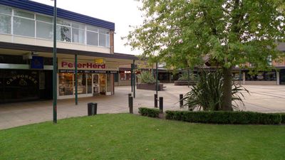
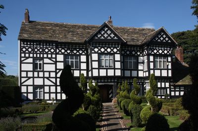
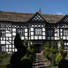
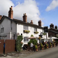
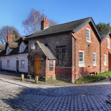
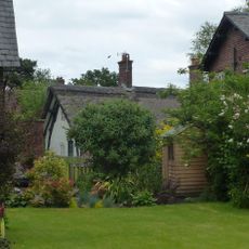
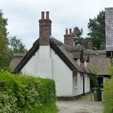
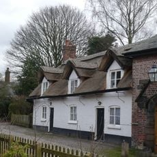
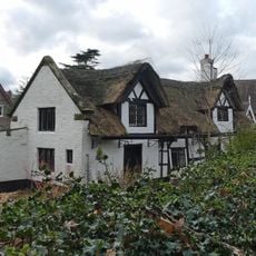
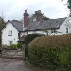
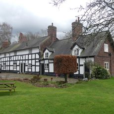
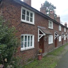
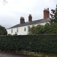
Handforth is a civil parish and village in Cheshire, located about 9 miles south of Manchester, with around 6,700 residents. The area features residential neighborhoods with local shops, parks, and a mix of historic and modern buildings, including Handforth Hall from 1562 with distinctive Tudor-style timber framing.
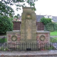
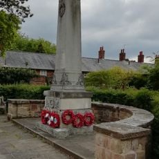
The first written record of Handforth dates to the 1200s, when the village developed gradually through medieval times. During the 20th century, the town played significant roles in both world wars, hosting an internment camp for over 2,700 prisoners in the early 1900s and later serving as an RAF supply depot for aircraft maintenance.
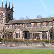
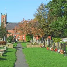
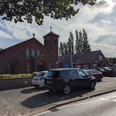
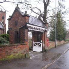
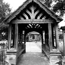
The name Handforth comes from a ford across the River Dean, originally meaning 'Hanna's Ford'. The three main churches in the village - St. Mary's Methodist, St. Benedict's Catholic, and St. Chad's Anglican - remain central gathering places for worship and community events today.
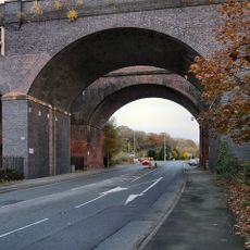
The village is well-served by a train station on the Crewe to Manchester line, buses connect to nearby areas, and the A34 road runs directly past it. Access to Manchester Airport makes it convenient for travelers to reach the area without a car.
During the 1960s and 1970s, major housing estates like Spath Lane and Colshaw Farm were built to accommodate families relocating from central Manchester. This deliberate expansion transformed Handforth into a refuge for city dwellers seeking a more rural way of life.
The community of curious travelers
AroundUs brings together thousands of curated places, local tips, and hidden gems, enriched daily by 60,000 contributors worldwide.