South Kensington, Cultural district in London, England.
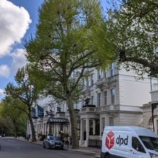
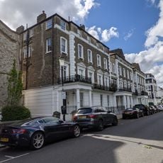
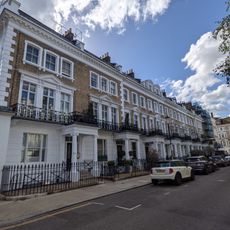
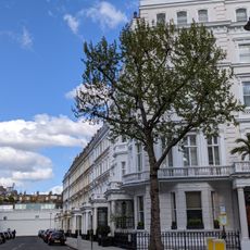
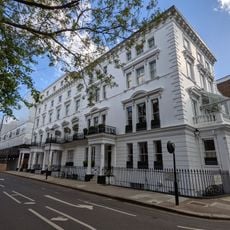
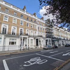
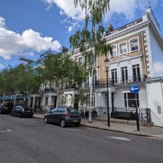
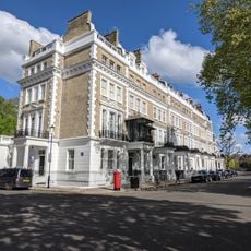
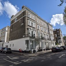
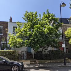
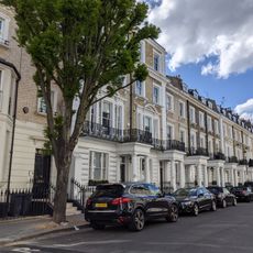
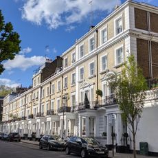
South Kensington is a district in London spreading roughly four kilometers west of Charing Cross, bringing together residential streets, shops, garden areas, and educational sites around the underground station. Wide pavements link the buildings, while rows of trees and open squares reveal views of brick and stucco facades.
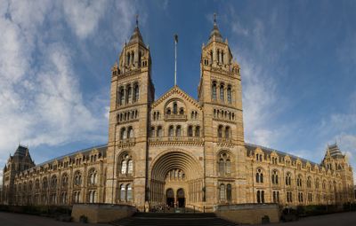
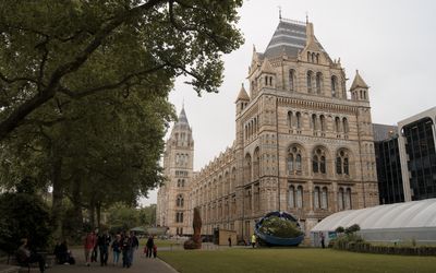
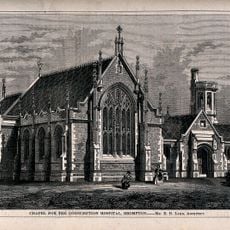
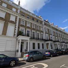
After the Great Exhibition of 1851, commissioners purchased around 35 hectares to build institutions for arts and sciences, reshaping the former Brompton area. The new establishments drew scholars, artists, and craftspeople who settled in the surrounding streets, giving the district its present character.
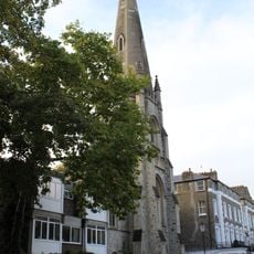
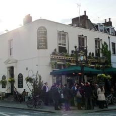
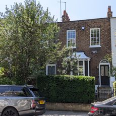
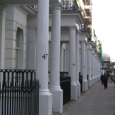
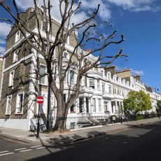
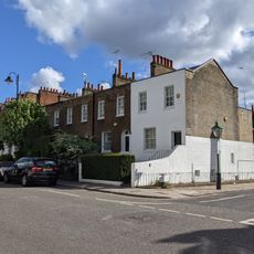
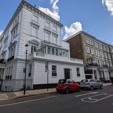
The name traces back to an old chapel south of Kensington Palace, once used by pilgrims as a landmark along their route. Today visitors walk between tall buildings and green squares, passing shop windows and cafés frequented by tourists and students alike.
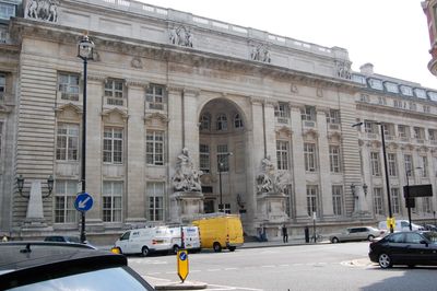
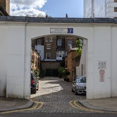
Exhibition Road is traffic-calmed and leads to several underground connections, restaurants, and educational sites within walking distance. Those exploring the area should plan a full day to allow enough time for the large museums and the smaller side streets.
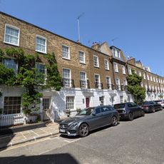
During World War II, the district became a refuge for people from Belgium, France, and Poland who formed new communities here. Some streets bore traces of these settlements for decades afterward, such as small shops and churches recalling their origins.
The community of curious travelers
AroundUs brings together thousands of curated places, local tips, and hidden gems, enriched daily by 60,000 contributors worldwide.