Bermondsey, District in southeast London, England
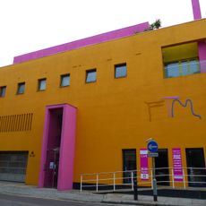
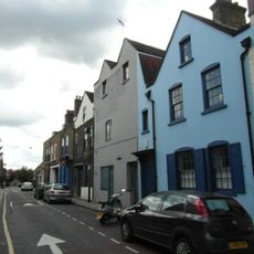
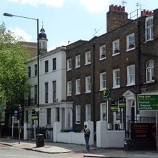
Bermondsey is a district in southeast London situated between Tower Bridge and Old Kent Road, where residential streets and converted warehouses shape the area. Southwark Park offers green spaces within this built environment and forms a quiet contrast to the busy streets around it.
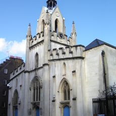
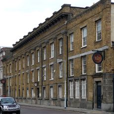
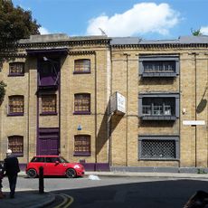
The area emerged on dry ground within marshland and was first mentioned in the 8th century as Vermundesei. Centuries later a significant leather industry developed here, traces of which remain visible today in old market buildings.
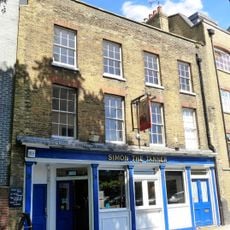
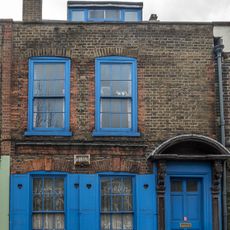
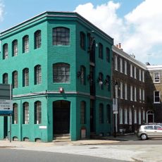
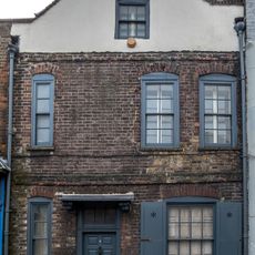
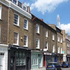
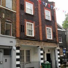
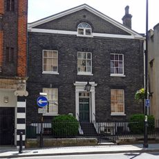
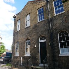
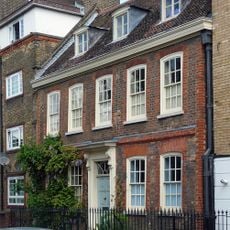
The district takes its name from an early medieval landowner and preserves this long history in street names and buildings from different centuries. Visitors see today a mix of older residential neighborhoods and former factory halls used as apartments and small shops.
The Jubilee underground line connects the district with central London and makes arrival easier for visitors. Numerous bus routes cross the residential areas and bring travelers to local markets and other points of interest.
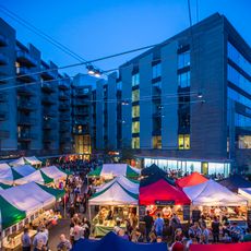
Maltby Street Market extends beneath Victorian railway arches near the Thames and links food vendors with the restored brick structures from the 19th century. This market uses the space under the tracks and creates an atmosphere between past and present.
Location: London Borough of Southwark
GPS coordinates: 51.49860,-0.07570
Latest update: December 12, 2025 22:52
White Cube
444 m
White Cube
468 m
Bermondsey Abbey
376 m
Fashion and Textile Museum
375 m
Bermondsey Market
397 m
St Mary Magdalen Bermondsey
368 m
Cornerstone
441 m
Simon the Tanner
505 m
The Tanner Street Park Drinking Fountain
303 m
Leather Market
669 m
124-130, Bermondsey Street
455 m
Bevington fountain
315 m
9, Grange Walk
381 m
Numbers 2-5 And Attached Railings
423 m
8, Grange Walk
383 m
132, Bermondsey Street
449 m
187 And 189, Bermondsey Street
358 m
191, Bermondsey Street
356 m
Monument in St Mary Magdalen Garden
363 m
15, Grange Walk
370 m
Gates And Gate Piers At North East Entrance To St Marys Churchyard
266 m
Tomb Approximately 15 Metres South South East Of Church Of St Mary Magdalene
327 m
Tomb Of John Sargeant At South West Corner Of Church Of St Mary Magdalene
339 m
Watch House In St Marys Churchyard (Recreation Ground)
391 m
5, 6 And 7, Grange Walk
385 m
2 And 4, Leathermarket Street
511 m
Numbers 8-11 And Attached Railings To Number 11
473 m
67, Grange Walk
315 mVisited this place? Tap the stars to rate it and share your experience / photos with the community! Try now! You can cancel it anytime.
Discover hidden gems everywhere you go!
From secret cafés to breathtaking viewpoints, skip the crowded tourist spots and find places that match your style. Our app makes it easy with voice search, smart filtering, route optimization, and insider tips from travelers worldwide. Download now for the complete mobile experience.
A unique approach to discovering new places❞
— Le Figaro
All the places worth exploring❞
— France Info
A tailor-made excursion in just a few clicks❞
— 20 Minutes