Butser Hill, Nature reserve near Langrish and Buriton, England
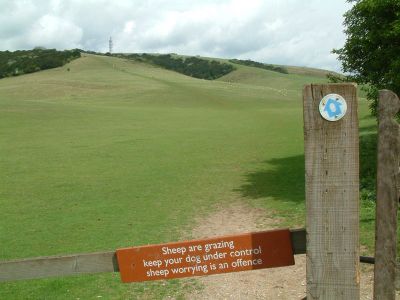
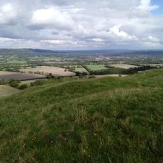
Butser Hill is a chalk grassland rising to 270 meters, the highest point of the South Downs ridge in Hampshire. The slopes feature multiple walking trails that wind through the grass and connect to nearby Queen Elizabeth Country Park.
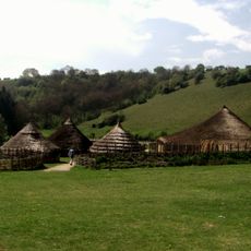
Ancient farming patterns called lynchet terraces appear on the southeast slope, showing how people farmed here in early times. Roman pottery fragments found on the hill indicate that the region was used for agriculture during the Roman period.
The name comes from Old English 'Bryttes Oran', meaning 'Briht's slope', connecting the place to Anglo-Saxon times. Visitors walking here can sense this linguistic past woven into the local landscape.
Multiple walking trails with various entry points and designated parking areas make it accessible for visitors of different abilities. Wear sturdy footwear as the slopes can be steep and ground conditions change with the season.
The hill supports over 125 moss species and nearly 80 lichen species, creating a rare ecosystem that few visitors might expect to find. This diverse plant life attracts about 30 different butterfly species, making it a haven for insects.
The community of curious travelers
AroundUs brings together thousands of curated places, local tips, and hidden gems, enriched daily by 60,000 contributors worldwide.