Churchill Barriers, Four concrete causeways in Orkney Islands, Scotland
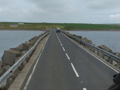
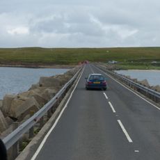
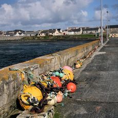
The Churchill Barriers are four concrete and stone causeways that connect Orkney's mainland with its southern islands through the sea. They form a road link spanning several kilometers and rest on foundations of large rock blocks held together by concrete.
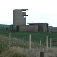
After a German submarine sank a British naval vessel in 1939, Winston Churchill ordered these barriers built to protect a strategic anchorage from further attacks. Construction took place over several years during World War II and involved workers brought from across Europe.
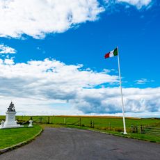
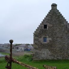
The Italian Chapel on Lamb Holm stands as a testament to the resourcefulness of prisoners of war who worked on the project using whatever materials they could find. Visitors can see how these workers left their mark through this small but striking building.
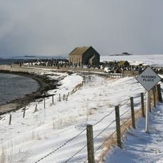
You can drive across the barriers as they form the main road to the southern islands and offer views across open water. The route can feel exposed in windy conditions, so take your time and watch for local traffic heading to and from the islands.
The construction required hundreds of thousands of tonnes of rock from nearby quarries, pressed into concrete blocks designed to handle the sea's constant push and pull. This large-scale engineering work was one of Britain's biggest infrastructure projects during that era.
The community of curious travelers
AroundUs brings together thousands of curated places, local tips, and hidden gems, enriched daily by 60,000 contributors worldwide.