
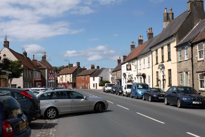
Wickwar, village and civil parish in Gloucestershire, UK
Location: South Gloucestershire
Website: http://wickwar.org
GPS coordinates: 51.59500,-2.39800
Latest update: March 15, 2025 06:39
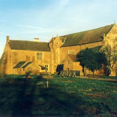
Acton Court
6.5 km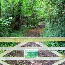
Lower Woods
1.9 km
Slickstones Quarry, Cromhall
3.7 km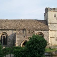
St James' Church, Charfield
2.6 km
Yarley Meadows
3.2 km
Parish Church of the Holy Trinity
420 m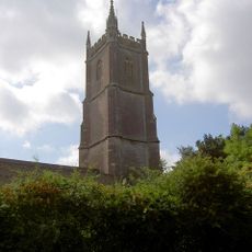
Parish Church of St John the Baptist
6.2 km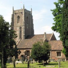
Church of St James the Less
6.8 km
Parish Church of St John
3.7 km
Parish Church of St Andrew
3.8 km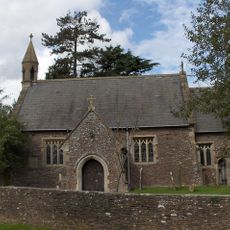
Church of the Holy Trinity
4.5 km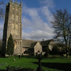
Parish Church of St Mary the Virgin
5.8 km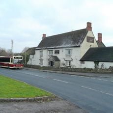
Swan Inn
5.7 km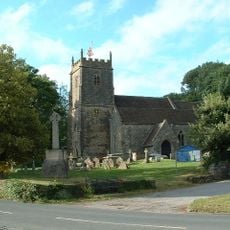
Church of St James
5.7 km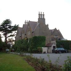
Rangeworthy Court
4.5 km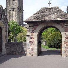
War Memorial Lych Gate
5.9 km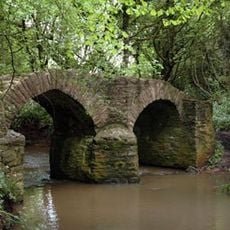
Sturt Bridge, Wickwar
711 m
Charfield War Memorial
3.7 km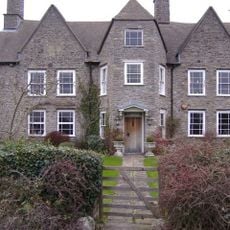
Frith Farmhouse,and Bakehouse At South East
1.4 km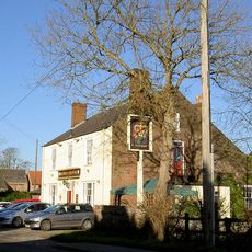
Rose And Crown
4.3 km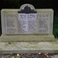
War Memorial and Grave Marker, Church of St Mary's Churchyard
5.9 km
Tytherington War Memorial
5.7 km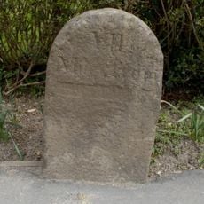
Milestone At National Grid Reference St 6904 8704
3.8 km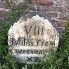
Milestones At North East Corner Of Garden Wall Circa 30 Metres East Of Laurel House
4.5 km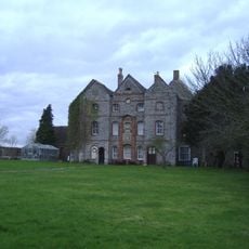
Oxwick Farmhouse
2.7 km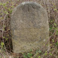
Milestone At National Grid Reference St6977 8999
3.1 km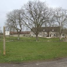
Inglestone Farmhouse
2.4 km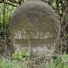
Milestone At National Grid Reference St 6928 8850
3.2 kmReviews
Visited this place? Tap the stars to rate it and share your experience / photos with the community! Try now! You can cancel it anytime.
Discover hidden gems everywhere you go!
From secret cafés to breathtaking viewpoints, skip the crowded tourist spots and find places that match your style. Our app makes it easy with voice search, smart filtering, route optimization, and insider tips from travelers worldwide. Download now for the complete mobile experience.

A unique approach to discovering new places❞
— Le Figaro
All the places worth exploring❞
— France Info
A tailor-made excursion in just a few clicks❞
— 20 Minutes