Enable Location

We need your location to show you interesting places around you

Discover nearby places

Find interesting locations and hidden gems around you

Precise directions

Get accurate directions and distances to places

Your location is never shared with other users. It's only used when you tap the location button.

River Rother

Log in to your account

Start exploring — it's free

Trusted by 67,720 travelers worldwide

Continue with Google
Continue with Apple
or

We will send you a code to connect

By continuing, you accept our Terms and Conditions and our Privacy Policy

Check your inbox

We've sent a pincode in your inbox. Please enter the code below.

River Rother
Discussion Reviews 1 Photos
11.1k Popularity

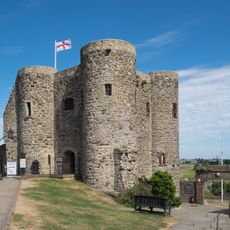
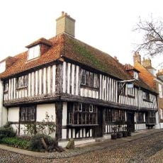
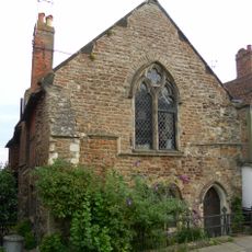
River Rother, River system in East Sussex and Kent, England

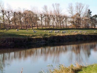
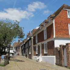
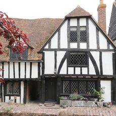
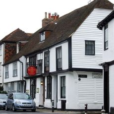
The River Rother is a waterway that flows from springs near Rotherfield through East Sussex and Kent for about 35 miles before reaching Rye Bay at the English Channel. Along its course, it passes through different landscapes and settlements while supporting local ecosystems and communities.

The river originally flowed toward New Romney until a severe storm in 1287 changed its course. This major shift led to lasting changes in how water and navigation were managed in the region.

The name Rother comes from Rotherfield, which means open grazing land for cattle. Its earlier Celtic name Limen shows how long this river has been part of the British landscape.

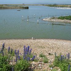
The waterway is accessible to small boats and is maintained by the South East Rivers Trust. Water conditions and navigability can change depending on the season and rainfall, so checking local conditions beforehand is helpful.

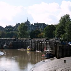
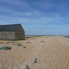
For the final section of about 14 miles, the river flows below high tide level, requiring special management. A sluice at Scots Float keeps saltwater out and maintains the water level in this tidal stretch.

The community of curious travelers

AroundUs brings together thousands of curated places, local tips, and hidden gems, enriched daily by 60,000 contributors worldwide.

Start exploring
Location
Location
GPS coordinates
50.92944,0.77318
Latest update
December 8, 2025 13:42
Reviews
Share your experience

No review yet

Discussions
Start a discussion...

No discussion yet

« River Rother - River system in East Sussex and Kent, England » is provided by Around Us (aroundus.com). Images and texts are derived from Wikimedia project under a Creative Commons license. You are allowed to copy, distribute, and modify copies of this page, under the conditions set by the license, as long as this note is clearly visible.

Discover hidden gems everywhere you go!

From secret cafés to breathtaking viewpoints, skip the crowded tourist spots and find places that match your style. Our app makes it easy with voice search, smart filtering, route optimization, and insider tips from travelers worldwide. Download now for the complete mobile experience.

Around Us App Screenshot

A unique approach to discovering new places

Le Figaro

All the places worth exploring

France Info

A tailor-made excursion in just a few clicks

20 Minutes

Around Us
Travel Guide & Maps
Download

Send to your phone

QR Code
1

Open the camera app on your mobile.

2

Point at the QR code with your camera. A notification will appear.

3

Tap the notification to open the link.