
Potsgrove, village and civil parish in Bedfordshire, UK
Location: Central Bedfordshire
GPS coordinates: 51.95000,-0.61667
Latest update: March 6, 2025 07:47

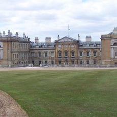
Woburn Abbey
3.9 km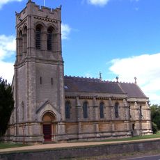
Church of Saint Mary
4.4 km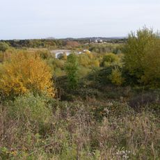
Double Arches Pit
1.6 km
Kings and Bakers Woods and Heaths
2.9 km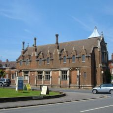
Town Hall
4.3 km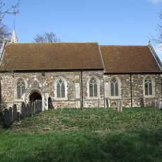
St Mary's Church, Potsgrove
1 km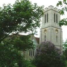
Church of St Peter, Milton Bryan
2.8 km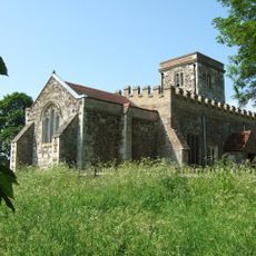
Church of St Peter & All Saints, Battlesden
775 m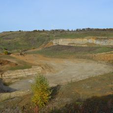
Nine Acres Pit
1.8 km
Stonehenge Works Station
1.7 km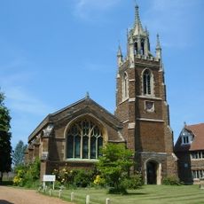
Old Church of St Mary
4.4 km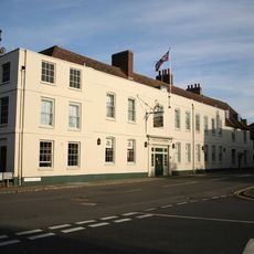
The Bedford Arms Hotel
4.3 km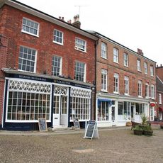
Atrium Antiques
4.3 km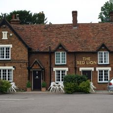
The Red Lion
2.6 km
Woburn Lower School
4.4 km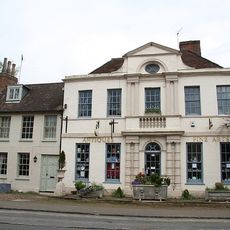
The Old Parsonage
4.4 km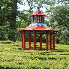
Chinese Pavilion, At Centre Of Maze
3.8 km
Sculpture Gallery, Adjoining South Side Of South Stableblock
3.9 km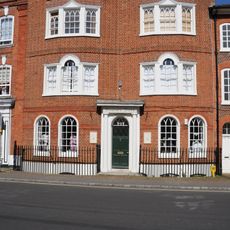
4-7, Market Place
4.3 km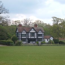
Paris House
2.8 km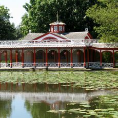
Chinese Dairy And Adjoining Covered Ways
4.1 km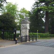
North Gatepier Of Pair Adjacent To Lion Lodge
4.5 km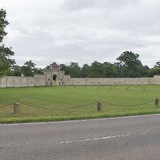
London Lodge, Gateway And Walls
2.4 km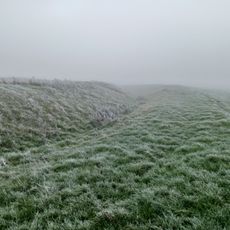
Moated site known as `The Hoult' and associated field system
2.6 km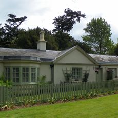
Lion Lodge
4.4 km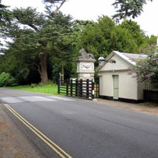
South Gatepier Of Pair Adjacent To Lion Lodge
4.4 km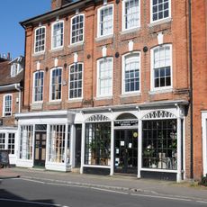
The Gifford Gallery Woburn Fine Arts
4.4 km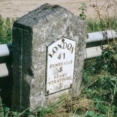
Milestone, Main Road; 50m NW of lane to Rammamere Farm and half mile NW of County Boundary, SE of Little Brickhill turn
3.7 kmVisited this place? Tap the stars to rate it and share your experience / photos with the community! Try now! You can cancel it anytime.
Discover hidden gems everywhere you go!
From secret cafés to breathtaking viewpoints, skip the crowded tourist spots and find places that match your style. Our app makes it easy with voice search, smart filtering, route optimization, and insider tips from travelers worldwide. Download now for the complete mobile experience.

A unique approach to discovering new places❞
— Le Figaro
All the places worth exploring❞
— France Info
A tailor-made excursion in just a few clicks❞
— 20 Minutes