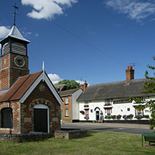
Heath and Reach, village and civil parish in Bedfordshire, UK
Location: Central Bedfordshire
GPS coordinates: 51.94300,-0.65550
Latest update: March 7, 2025 22:12

Stockgrove Country Park
1.3 km
Double Arches Pit
1.7 km
Kings and Bakers Woods and Heaths
1.9 km
St Mary's Church, Potsgrove
3.2 km
Church of St Mary, Linslade
1.9 km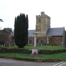
St Mary the Virgin, Great Brickhill
3.7 km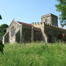
Church of St Peter & All Saints, Battlesden
3.6 km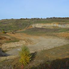
Nine Acres Pit
1.5 km
Nares Gladley Marsh
1.8 km
Stonehenge Works Station
1.7 km
The Globe Inn
2.1 km
Church of St Leonard
310 m
The Black Horse Public House
2.8 km
Friends Meeting House, Leighton Buzzard
2.8 km
33 And 35, North Street
2.8 km
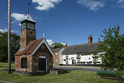
Village Pumphouse And Clock Tower
7 m
10-14, Lammas Walk
2.8 km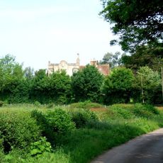
The Grange
3.8 km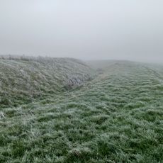
Moated site known as `The Hoult' and associated field system
3.3 km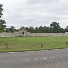
London Lodge, Gateway And Walls
4.8 km
12, North Street
2.9 km
Outbuilding To The Black Horse Public House
2.8 km
52 And 54, North Street
2.8 km
37-51, North Street
2.7 km
27-31, North Street
2.8 km
Canal bridge at Old Linslade
1.9 km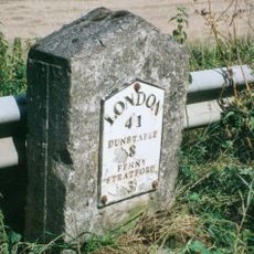
Milestone, Main Road; 50m NW of lane to Rammamere Farm and half mile NW of County Boundary, SE of Little Brickhill turn
3.2 km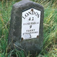
Milestone, north-bound carriageway, just before slip road to Little Brickhill
3.8 kmVisited this place? Tap the stars to rate it and share your experience / photos with the community! Try now! You can cancel it anytime.
Discover hidden gems everywhere you go!
From secret cafés to breathtaking viewpoints, skip the crowded tourist spots and find places that match your style. Our app makes it easy with voice search, smart filtering, route optimization, and insider tips from travelers worldwide. Download now for the complete mobile experience.

A unique approach to discovering new places❞
— Le Figaro
All the places worth exploring❞
— France Info
A tailor-made excursion in just a few clicks❞
— 20 Minutes
