Stockgrove Country Park, Public park in Heath and Reach, England
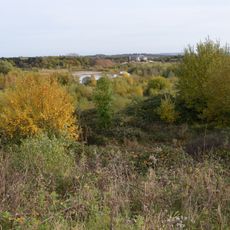
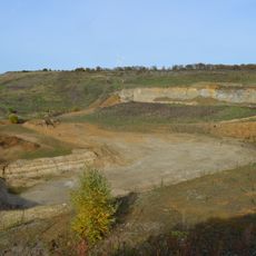
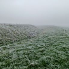
Stockgrove Country Park is a rural park with a lake, ancient woodland, conifer plantations, open meadows, and natural heath areas on its grounds. These varied habitats provide the foundation for multiple trails and viewpoints throughout.
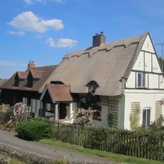
The site began as a medieval estate and later served as a military base during wartime. It was converted to a public park in 1972 after changing hands several times in the 20th century.
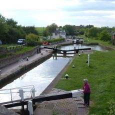
This space serves as a gathering point where locals come to escape into nature and observe wildlife throughout the seasons. The well-used paths and open areas reflect how central it has become to outdoor life in the area.
A visitor center provides trail maps and guidance for walking, cycling, and birdwatching throughout the grounds. The paths are well-marked and accommodate different activity levels and interests.
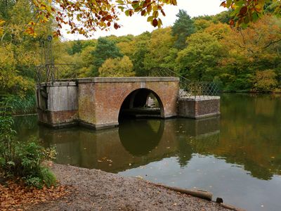
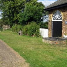
By the lake stands a brick arch structure that is all that remains of a boathouse, now home to mandarin ducks that settled there decades ago. These colorful birds are rarely seen in wild European settings, making them noteworthy here.
Location: Heath and Reach
GPS coordinates: 51.95300,-0.66600
Latest update: December 11, 2025 18:04
Double Arches Pit
1.9 km
Kings and Bakers Woods and Heaths
1.1 km
St Mary's Church, Potsgrove
3.4 km
Church of St Mary, Linslade
2.4 km
St Mary the Virgin, Great Brickhill
2.4 km
Nine Acres Pit
2.6 km
Nares Gladley Marsh
1.8 km
Stonehenge Works Station
2.8 km
Church of St Mary Magdalen
3.4 km
The Globe Inn
2.9 km
Church of St Leonard
1.6 km
Little Brickhill War Memorial
3.4 km
The Green Man Public House
3.5 km
Friends Meeting House, Leighton Buzzard
3.9 km
Grand Union Canal Talbot's Canal Lock 23 Grand Union Canal
3.2 km
Orchard Cottage
3.8 km
Grand Union Canal Pumping Station To East Of Lock 23
3.2 km
Grand Union Canal Locks 24, 25 And 26
2.7 km
Village Pumphouse And Clock Tower
1.3 km
33 And 35, North Street
3.9 km
Grand Union Canal Pumping Station To North Of Grand Union Canal At Three Locks
2.7 km
52 And 54, North Street
3.9 km
37-51, North Street
3.9 km
27-31, North Street
3.9 km
Moated site known as `The Hoult' and associated field system
2.8 km
Canal bridge at Old Linslade
2.3 km
Milestone, Main Road; 50m NW of lane to Rammamere Farm and half mile NW of County Boundary, SE of Little Brickhill turn
2.2 km
Milestone, north-bound carriageway, just before slip road to Little Brickhill
2.6 kmVisited this place? Tap the stars to rate it and share your experience / photos with the community! Try now! You can cancel it anytime.
Discover hidden gems everywhere you go!
From secret cafés to breathtaking viewpoints, skip the crowded tourist spots and find places that match your style. Our app makes it easy with voice search, smart filtering, route optimization, and insider tips from travelers worldwide. Download now for the complete mobile experience.
A unique approach to discovering new places❞
— Le Figaro
All the places worth exploring❞
— France Info
A tailor-made excursion in just a few clicks❞
— 20 Minutes