
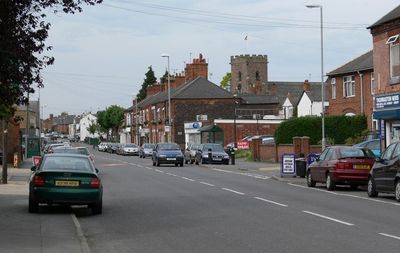
Thurmaston, village and civil parish in Leicestershire, UK
Location: Charnwood
Shares border with: Barkby Thorpe
GPS coordinates: 52.67528,-1.09926
Latest update: March 7, 2025 02:12

Towers Hospital Blocks 29, 30, 36, 37, 38, 39, 40, And 41
2.9 km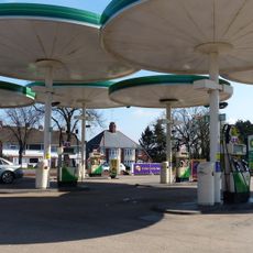
Red Hill filling station
2.2 km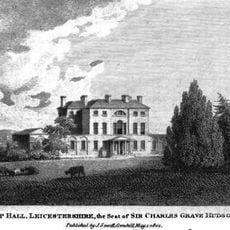
Wanlip Hall
2.2 km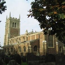
St Peter & St Paul, Syston
3.3 km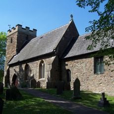
Church of Saint James the Great
1.4 km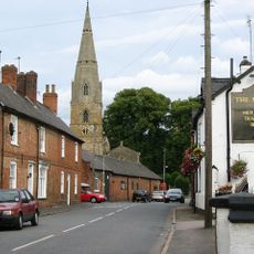
St Mary's Church, Barkby
2.8 km
Gipsy Lane Pit
2.1 km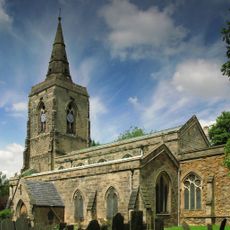
Parish Church of St Mary
3.4 km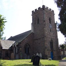
Church of St Michael
360 m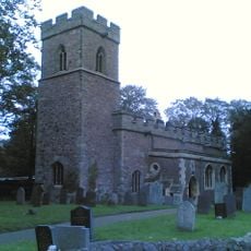
Church of St Nicholas
2.1 km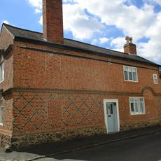
7, Lower Church Street
3.3 km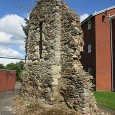
Remains of old chapel
742 m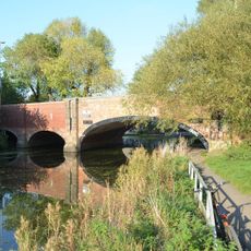
New Bridge
2.3 km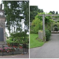
Syston War Memorial Clock Tower
2.8 km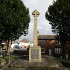
Birstall War Memorial
1.3 km
The Cottage, School Lane
1.5 km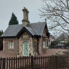
Goscote Lodge
1.9 km
The White House Farm
2.6 km
10, The Green
3.2 km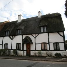
Forge Cottage
1.5 km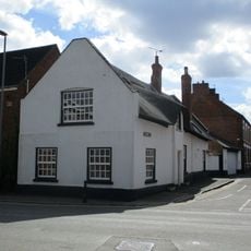
33, High Street
3.2 km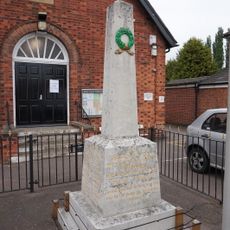
Thurmaston War Memorial
298 m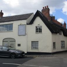
57, High Street
3.2 km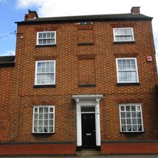
11, Barkby Road
3.2 km
2, Bath Street
3.2 km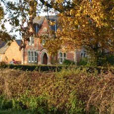
Barkby Grange Farmhouse
3.7 km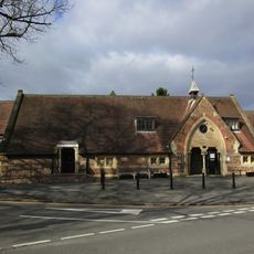
School
1.5 km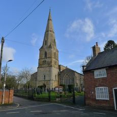
Numbers 2 To 6 (Even) And Barn
2.7 kmReviews
Visited this place? Tap the stars to rate it and share your experience / photos with the community! Try now! You can cancel it anytime.
Discover hidden gems everywhere you go!
From secret cafés to breathtaking viewpoints, skip the crowded tourist spots and find places that match your style. Our app makes it easy with voice search, smart filtering, route optimization, and insider tips from travelers worldwide. Download now for the complete mobile experience.

A unique approach to discovering new places❞
— Le Figaro
All the places worth exploring❞
— France Info
A tailor-made excursion in just a few clicks❞
— 20 Minutes