Charnwood, Administrative district in Leicestershire, England
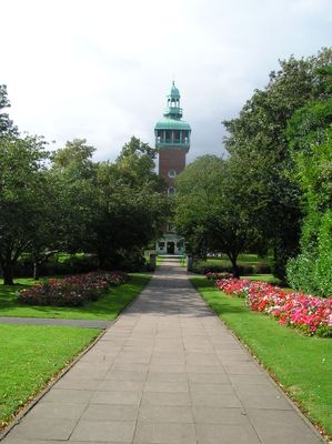
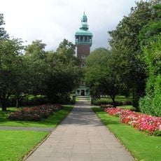
Charnwood is an administrative district spanning northern Leicestershire, combining urban centers and surrounding countryside into a single local authority area. Loughborough serves as the main town and administrative base, while secondary towns and villages spread across the rest of the district.
The district was created in 1974 through a merger of three previous administrative areas: Barrow upon Soar Rural District, Loughborough Municipal Borough, and Shepshed Urban District. This reorganization established its current boundaries and governance structure.
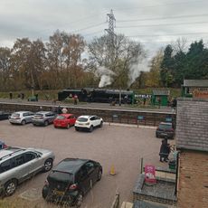
Weekly markets operate across the district, with Loughborough hosting a retail market and specialized collectors' markets that draw people from surrounding areas. These gathering spaces remain central to local commerce and community life today.
The district operates under a two-tier administration, with Charnwood Borough Council handling local services and Leicestershire County Council providing county-level support. Services and facilities span across multiple towns, so planning visits or errands requires knowing which center best serves your needs.
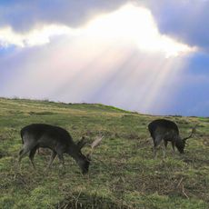
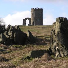
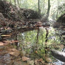
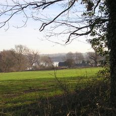
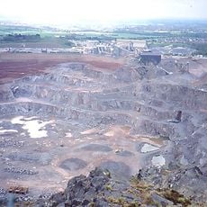
The district takes its name from Charnwood Forest, whose granite hills and varied landscapes shaped the choice of the district's name when it was established. This natural feature remains visible in the terrain and character of parts of the area today.
The community of curious travelers
AroundUs brings together thousands of curated places, local tips, and hidden gems, enriched daily by 60,000 contributors worldwide.