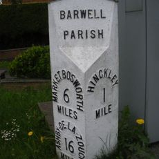
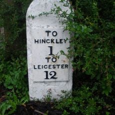
Barwell, Civil parish in Hinckley and Bosworth district, England.
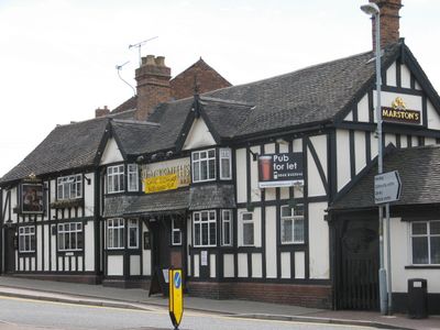
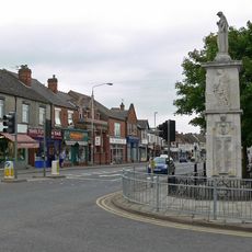
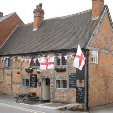
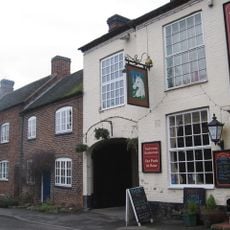
Barwell is a civil parish in the Hinckley and Bosworth district with residential neighborhoods, local shops, schools, and community facilities located northeast of Hinckley town. The area spreads across several streets with everyday services and buildings that serve the local population.
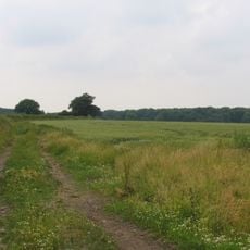
During the 19th and early 20th centuries, Barwell transformed from a farming village into a manufacturing center focused on shoe production. This shift shaped its economic foundation and growth during those decades.
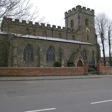
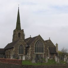
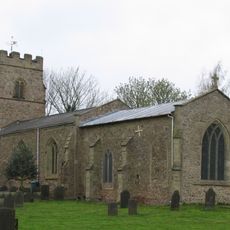
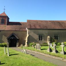
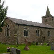
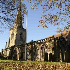
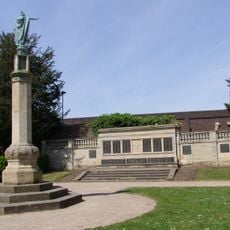
The Parish Church of St. Mary serves as a focal point where residents gather for worship and community events throughout the year. It shapes the local rhythm and brings people together for shared occasions.
The parish has local shops and schools within walking distance that meet everyday needs of residents. Being located northeast of Hinckley gives visitors access to local services while remaining close to larger facilities in the neighboring town.
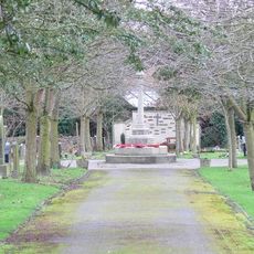
The parish managed itself through specialized committees such as Planning and Highways and Parks and Cemeteries, showing how local decisions were organized. This structure allowed residents to participate directly in different areas of community life.
Location: Hinckley and Bosworth
Website: http://barwell-pc.org.uk
GPS coordinates: 52.56823,-1.34616
Latest update: December 7, 2025 20:42
De Montfort Park
1.1 km
St Mary's Church, Hinckley
3.5 km
Burbage Wood and Aston Firs
3.1 km
Church of St Mary
417 m
Kendall's Meadow
5.2 km
Church of St Simon and St Jude
3 km
Church of All Saints, Kirkby Mallory
3.6 km
Church of St James
4.2 km
Church of St Martin
1.8 km
Church of St Mary
1.7 km
Church of St James
4.5 km
Church of St Mary Magdalene
4.7 km
Church of St Margaret
4.6 km
Stoke Golding War Memorial
4.4 km
Hinckley War Memorial
3.4 km
Earl Shilton War Memorial
2.1 km
The Queens Head Public House
275 m
K6 Telephone Kiosk Outside Mount Pleasant
4.4 km
Hercules Inn And House To South West
4.4 km
Milestone At Ngr Sp 4412 9332
3.6 km
War Memorial
3.4 km
The Alms House
4.5 km
Kings Richard Well
5.2 km
Mount Pleasant
4.4 km
Church View
4.4 km
Milestone At Ngr Sp 4790 9935
4.2 km
Milepost, by No. 240 Ashby Road, just S of jct with Normandy Way (A47)
1.8 km
Milestone, entrance to Milestone House, opp entrance to golf club
1.8 kmVisited this place? Tap the stars to rate it and share your experience / photos with the community! Try now! You can cancel it anytime.
Discover hidden gems everywhere you go!
From secret cafés to breathtaking viewpoints, skip the crowded tourist spots and find places that match your style. Our app makes it easy with voice search, smart filtering, route optimization, and insider tips from travelers worldwide. Download now for the complete mobile experience.
A unique approach to discovering new places❞
— Le Figaro
All the places worth exploring❞
— France Info
A tailor-made excursion in just a few clicks❞
— 20 Minutes