Swineshead Abbey, Medieval Cistercian abbey ruins in Swineshead, England
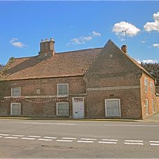
Swineshead Abbey is a former Cistercian monastery, of which only the Abbey House remains today, a limestone structure built in 1607 with an L-shaped floor plan. The two-story building with distinctive sash windows sits on elevated marshland and was constructed using stone salvaged from the original monastic buildings.
Robert de Gresley founded the monastery in 1134 as a Savigniac community, which then converted to the Cistercian order just 13 years later in 1147. The site served as a monastic center for centuries before dissolution, after which its stone was repurposed for the current building.
The building preserves a 13th-century carving of a knight in chain mail and surcoat, showing how medieval artisans blended military and religious imagery. This artwork tells us about the relationship between warriors and the church at that time.
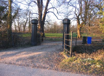
The Abbey House is clearly visible from the main A52 road through Lincolnshire, making it easy to view from your car or while traveling through the area. The elevated location on open ground provides good views of the structure, though access to the interior may be limited.
King John stayed here after losing his royal baggage in the Wash, just months before his death in 1216. This was one of the last recorded stops of the controversial monarch during his final days.
The community of curious travelers
AroundUs brings together thousands of curated places, local tips, and hidden gems, enriched daily by 60,000 contributors worldwide.