White Hill, Mountain summit in northern Great Britain.
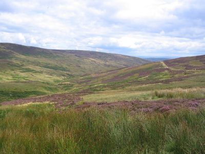
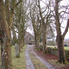
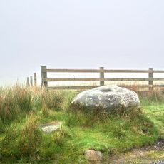
White Hill is a summit in northern Britain offering panoramic views across several counties. The terrain combines open grass slopes with rocky sections, and the summit provides wide views over the surrounding valley.
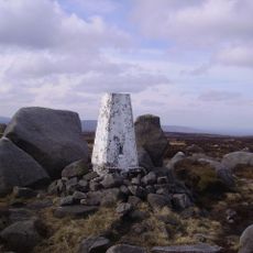
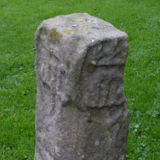
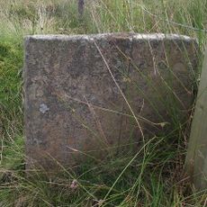
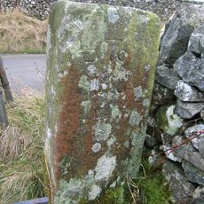
The summit served for centuries as a natural boundary marker between different administrative regions. This role as a focal point led to it being used by border inhabitants to establish and confirm territorial divisions.
The name comes from the pale limestone visible on its slopes, which stands out against the darker surrounding hillsides. Local hikers have walked these routes for generations, and the stones worn smooth by countless footsteps tell the story of their passage.
The walk is possible year-round, but the best time is between May and September when the trails are drier. Good footwear and a waterproof jacket are always recommended, as weather can change quickly at the summit.
The rocks at the summit show distinct layers from different geological ages, telling the story of millions of years of change. Some layers have been exposed by erosion and are widely visible, making the location interesting for anyone curious about how the land was formed.
The community of curious travelers
AroundUs brings together thousands of curated places, local tips, and hidden gems, enriched daily by 60,000 contributors worldwide.