Woodchester Roman Villa, Roman villa in Woodchester, England
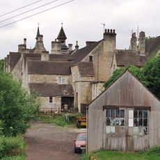
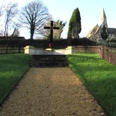
Woodchester Roman Villa is a former Roman settlement containing 64 rooms that were arranged around inner and outer courtyards. The remains of this complex lie buried beneath the ground today, hidden underneath a churchyard near Stroud in Gloucestershire.
The villa was built in the 2nd century AD and remained inhabited until the late 4th century before being abandoned. The site was rediscovered in 1693 by Edmund Brown, which started the archaeological investigation of Roman settlement in the region.
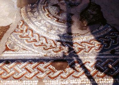
The Orpheus mosaic displays detailed scenes with animals and figures arranged around the central image of Orpheus playing his lyre. This artistic work reflects how the villa's inhabitants valued classical mythology and demonstrates the wealth and refinement of this Roman settlement.
The archaeological site remains buried underground and is not excavated or open to the public. Visitors should know there are no displays or signs on site, and the location can only be viewed from the outside.
The villa contains one of Europe's largest Roman mosaics featuring geometric patterns and figures that remained hidden beneath the earth for centuries. The mosaic was uncovered during early excavations but was then reburied and remains hidden beneath the churchyard to this day.
The community of curious travelers
AroundUs brings together thousands of curated places, local tips, and hidden gems, enriched daily by 60,000 contributors worldwide.